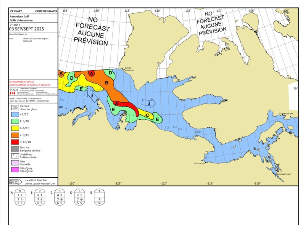
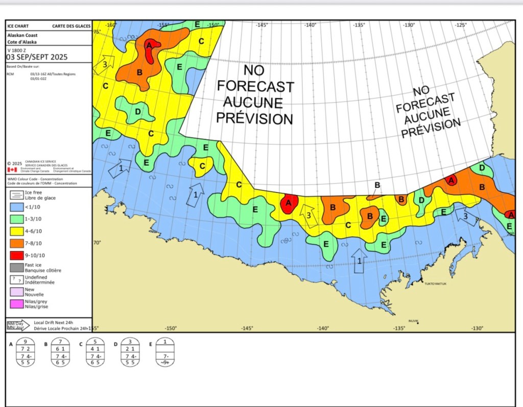
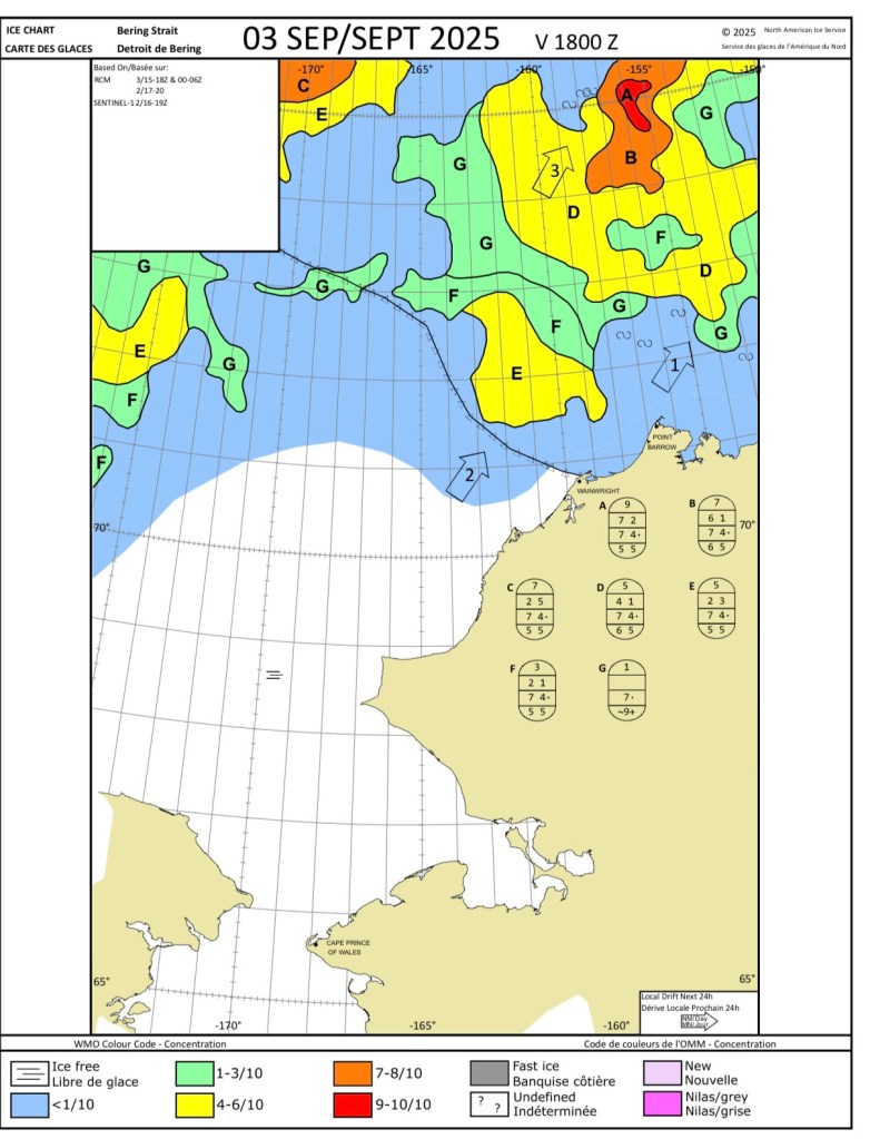
I’ve checked the ice conditions for the rest of our route through to Nome. It looks like we might have some more ice although I would doubt it will be as dense as this morning.
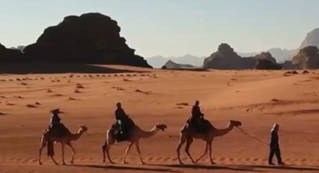
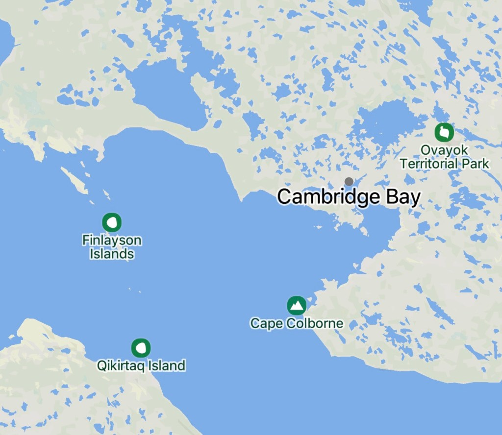
– Cruising Findlayson Islands to Murray Island, Nunavut, Arctic Canada
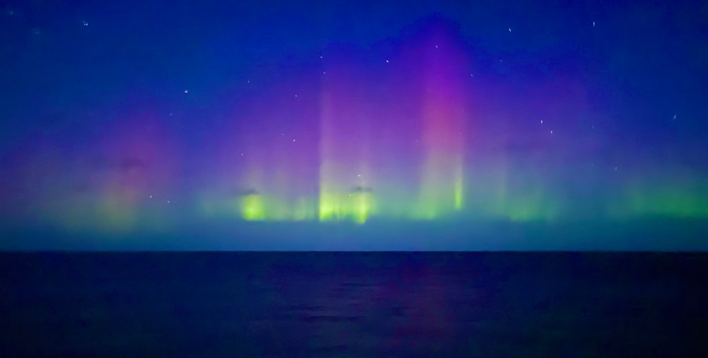
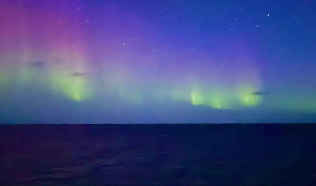
Well what a lovely surprise!
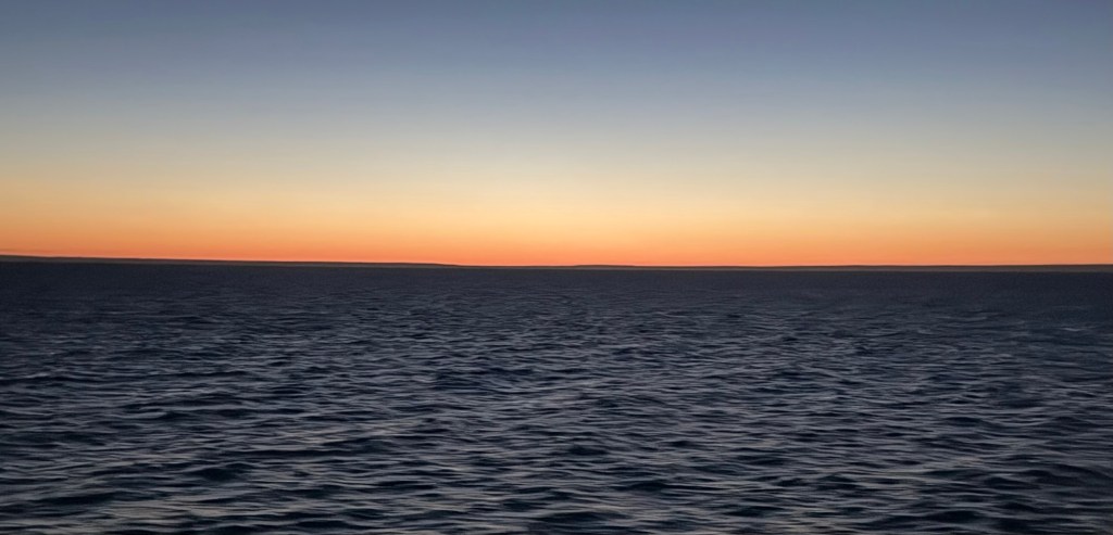
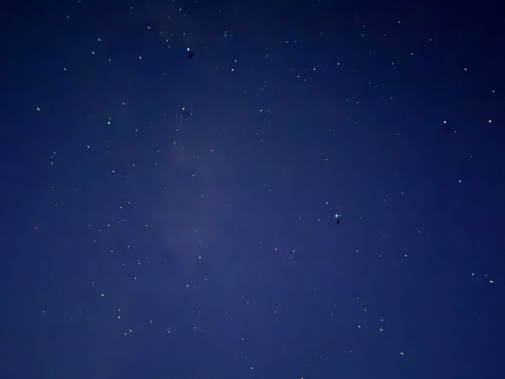
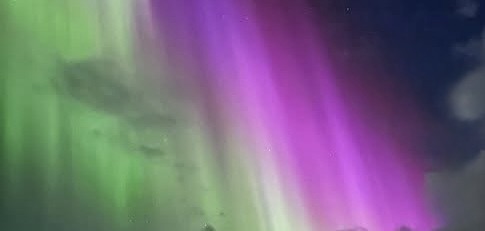
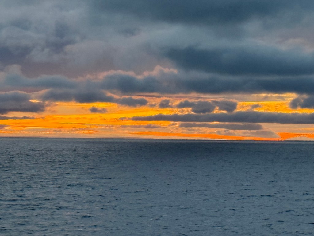
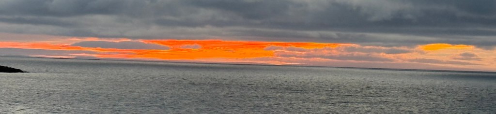
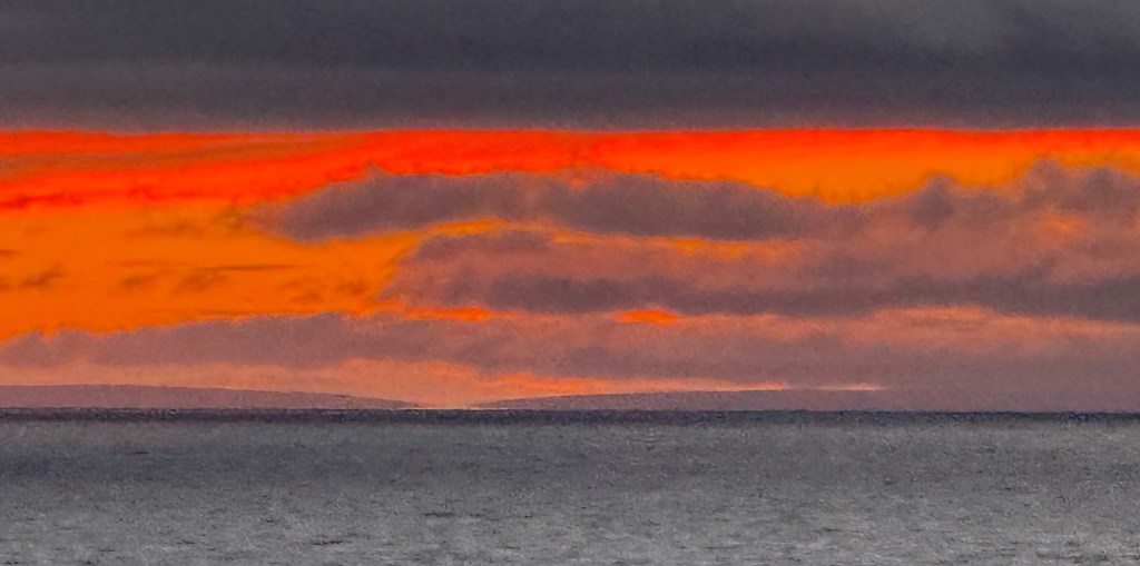
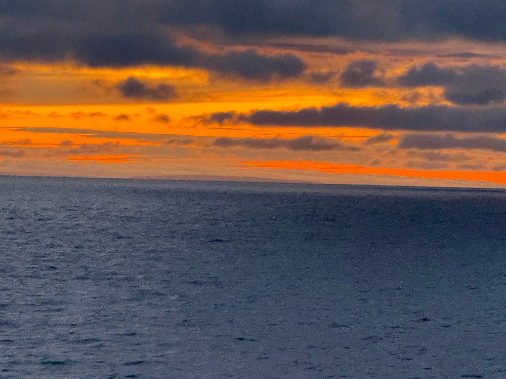
After a beautiful sunset, the stars – 1000’s of them, carpeting the sky in a banner of jewels – were revealed.
And then! A major sun storm delivers to us the Northern Lights, while looking South! Quite delightful…..the colors dancing upon the horizon, changing and moving in a fallen curtain….
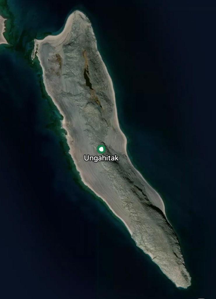
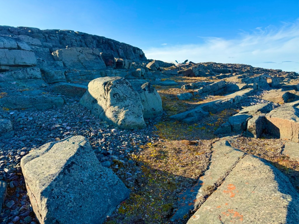
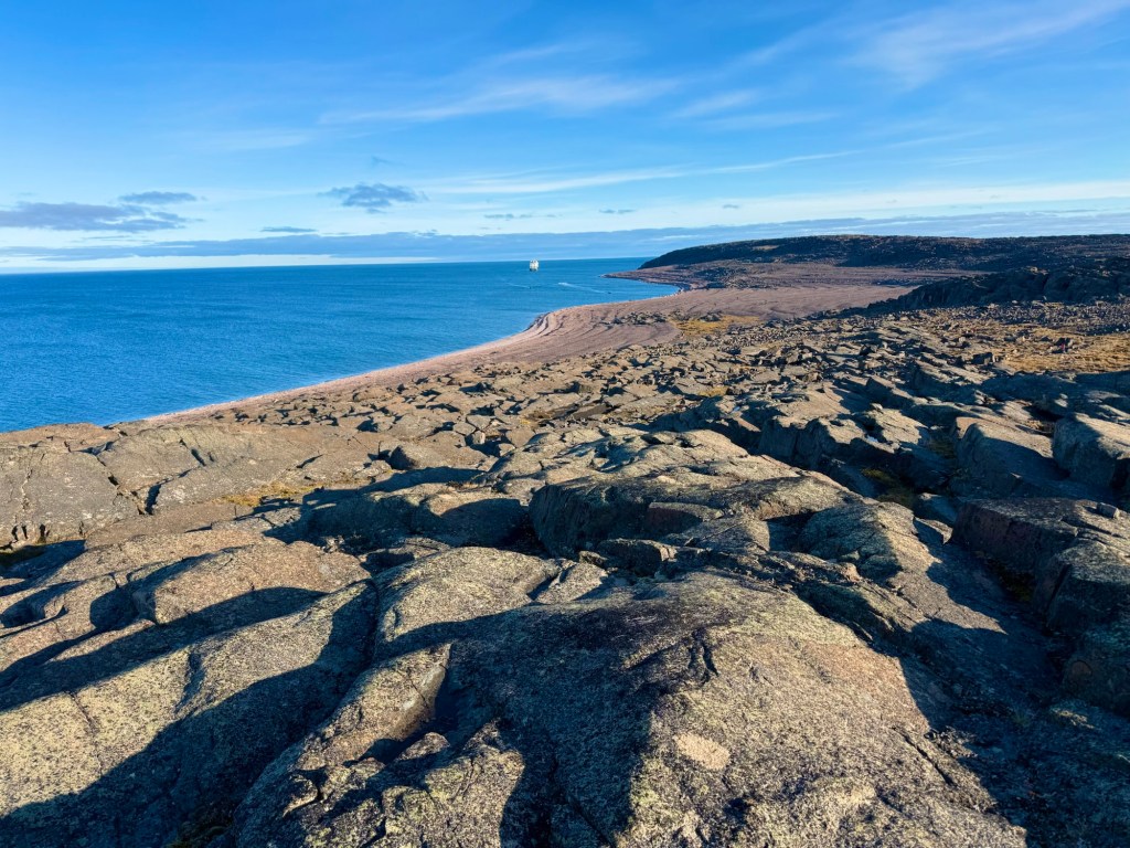
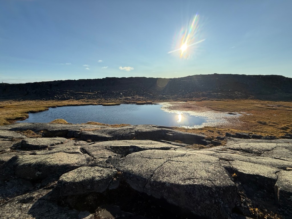
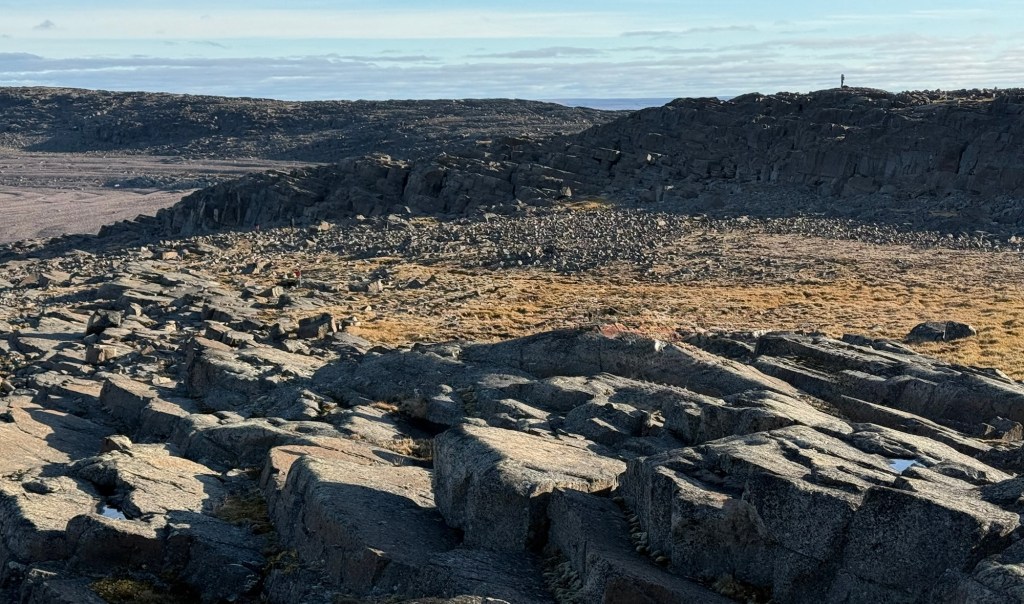
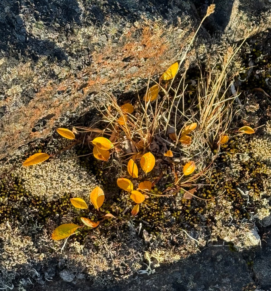
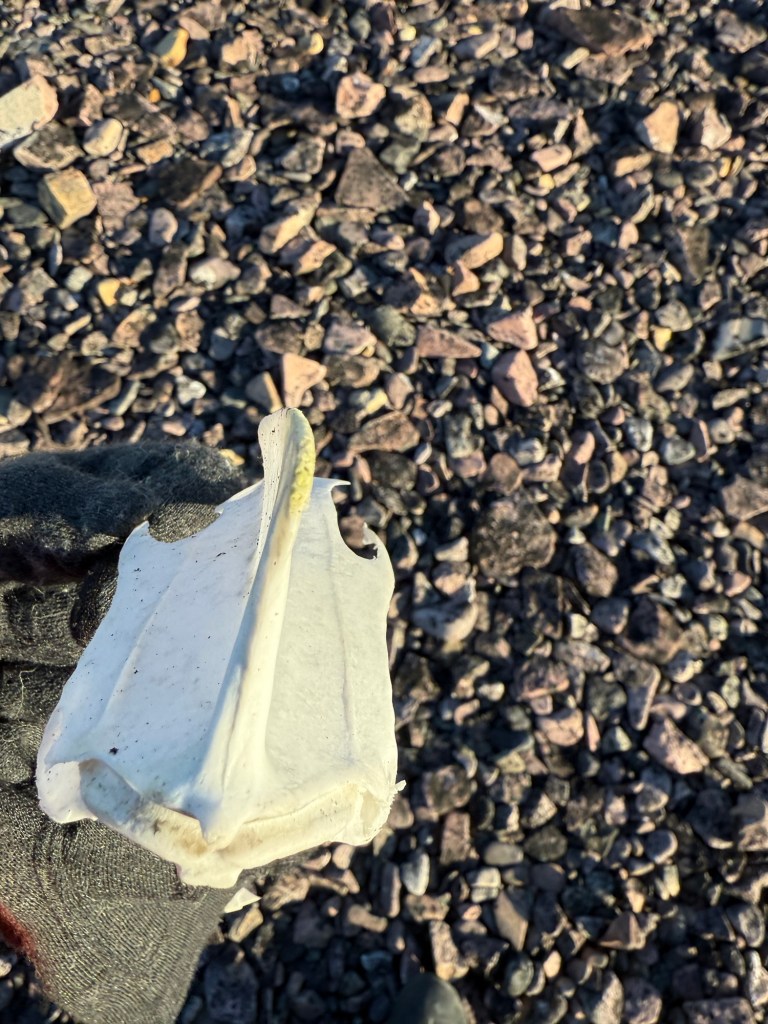
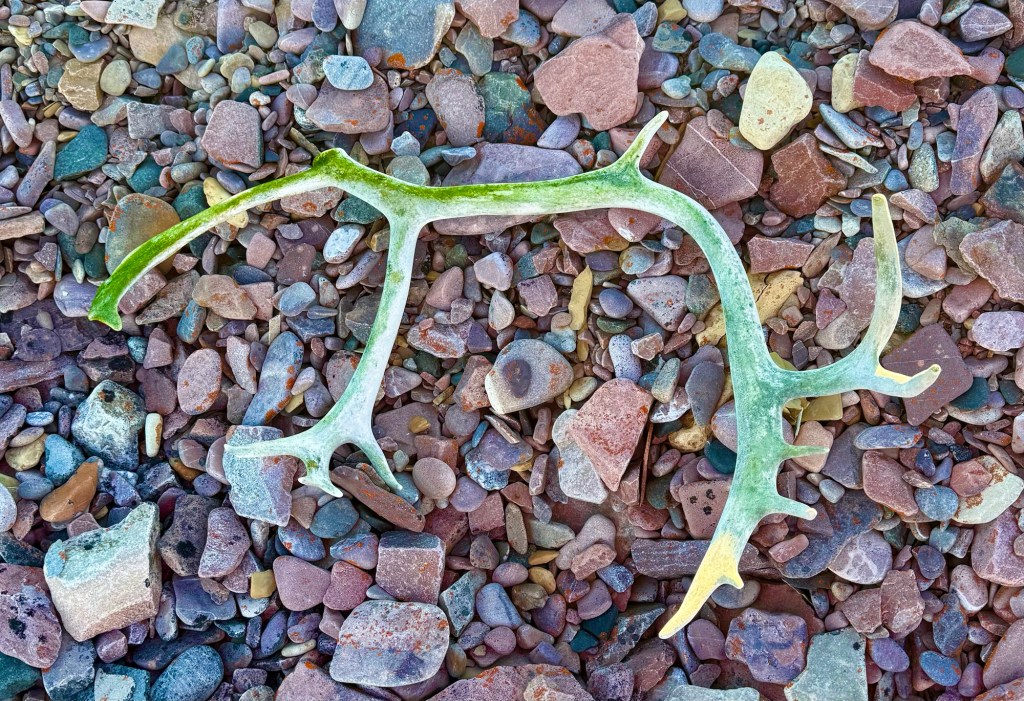
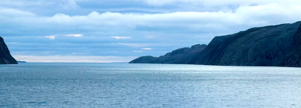
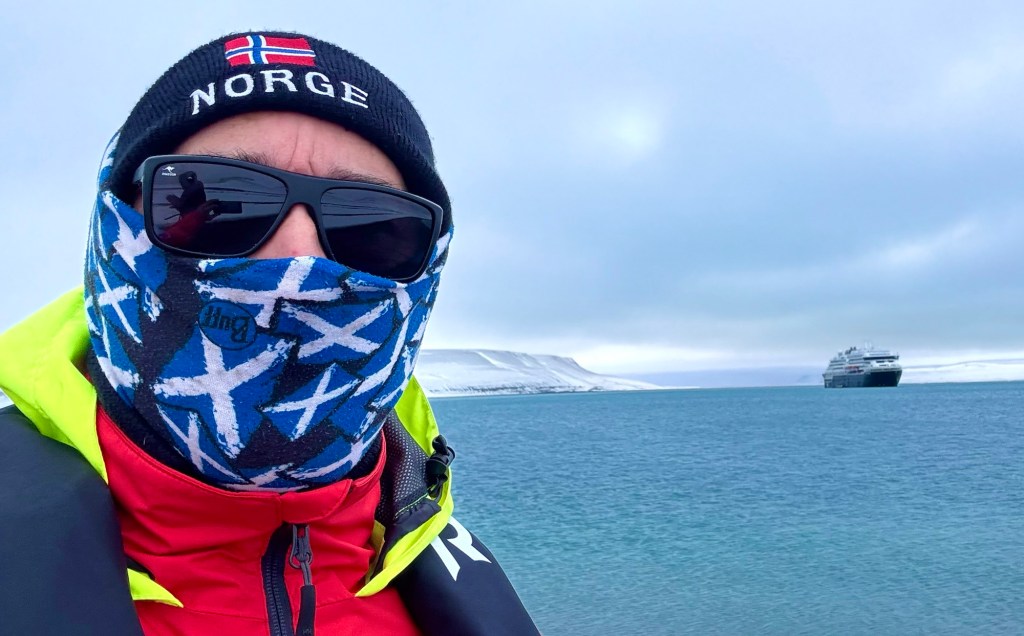
Ungahitak Island, Findlayson Islands, Nunavut, Arctic Canada
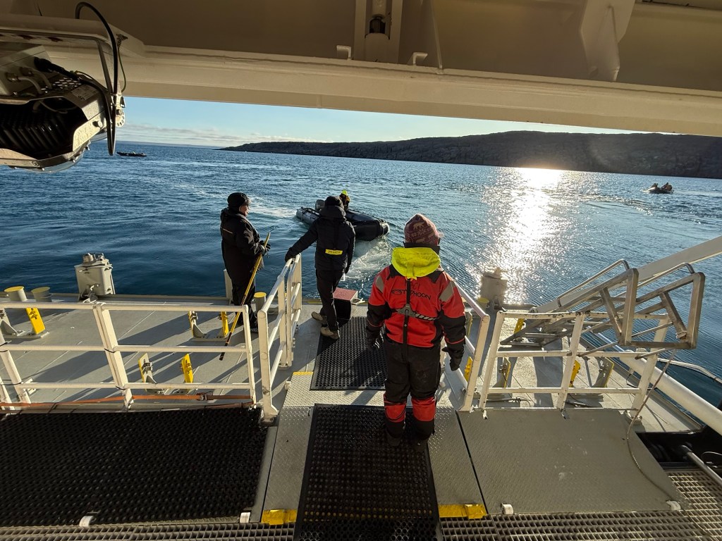
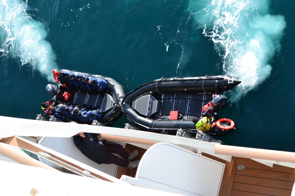
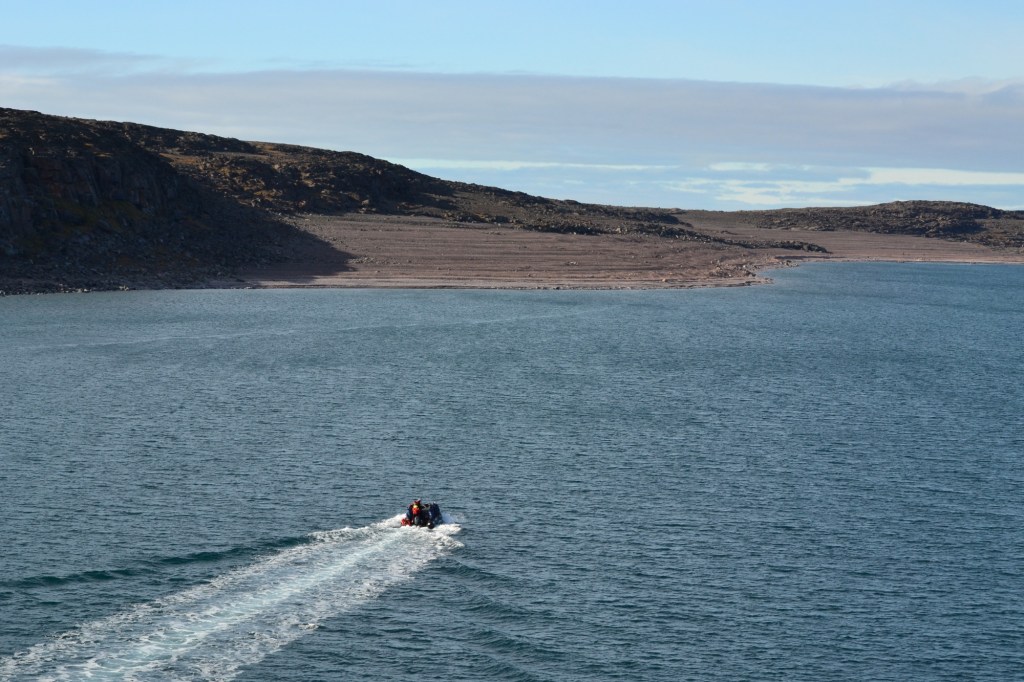
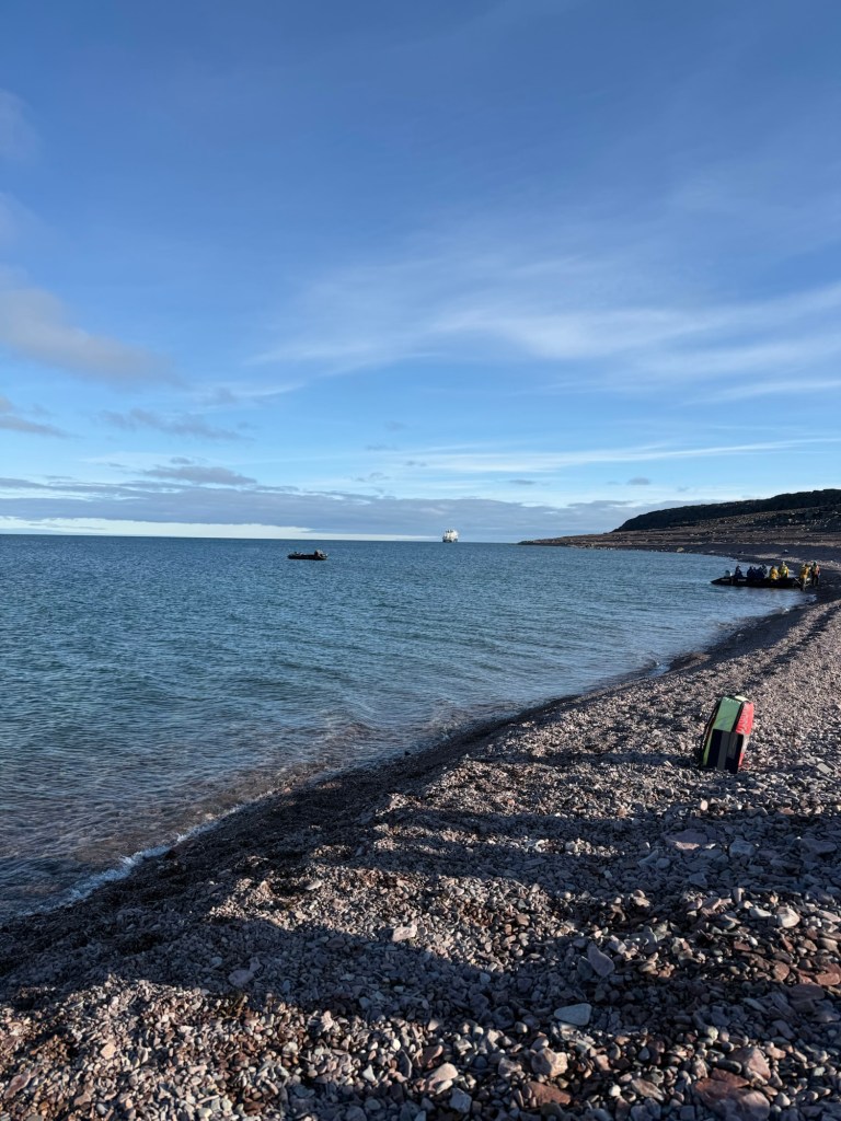
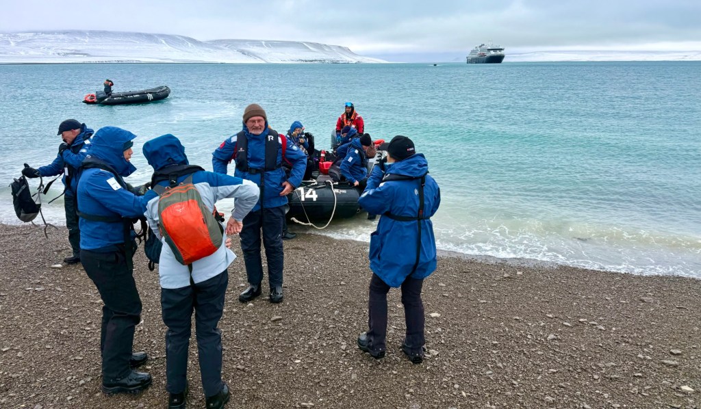
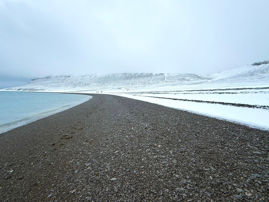
The Captain has taken us to the uninhabited island of Ungahitak in the Finlayson Islands, a surprising detour.
Basking in sunlight, the island’s rocky shores are a sight to behold. We launched the zodiacs and went forth into the unknown – the spirit of Scotland leading our hearts and minds.
We ascended to a high point and were rewarded with breathtaking views.
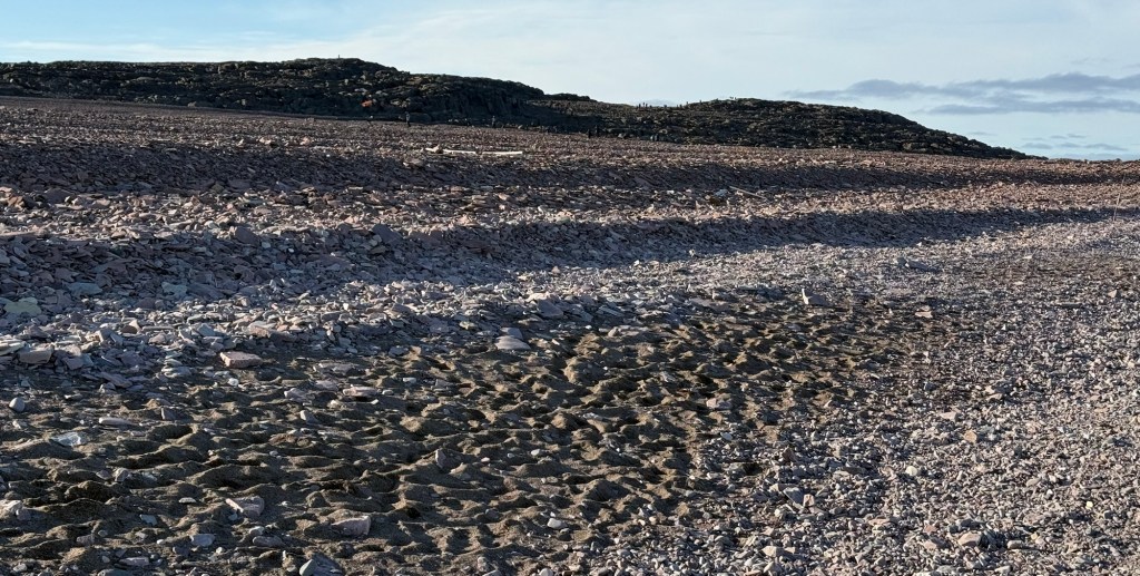
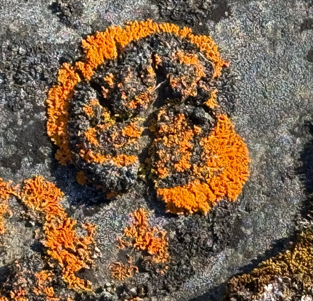
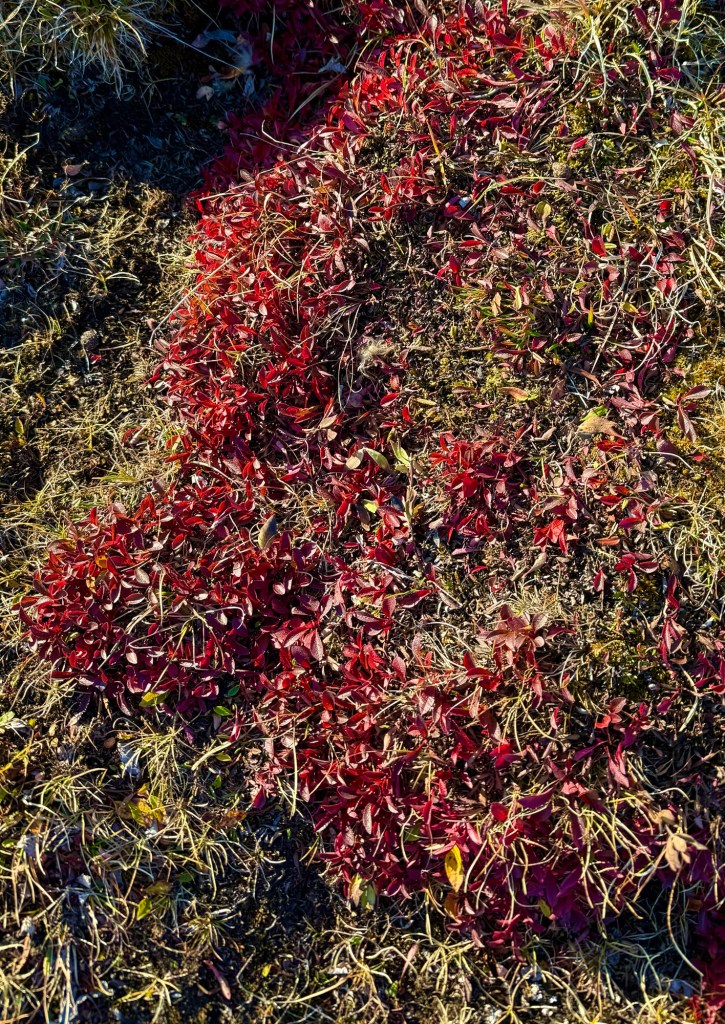
The island offered us abundant ground life – sunburst lichen and others – as well as skeletons and antlers from eons ago; a treasure trove of Arctic delights.
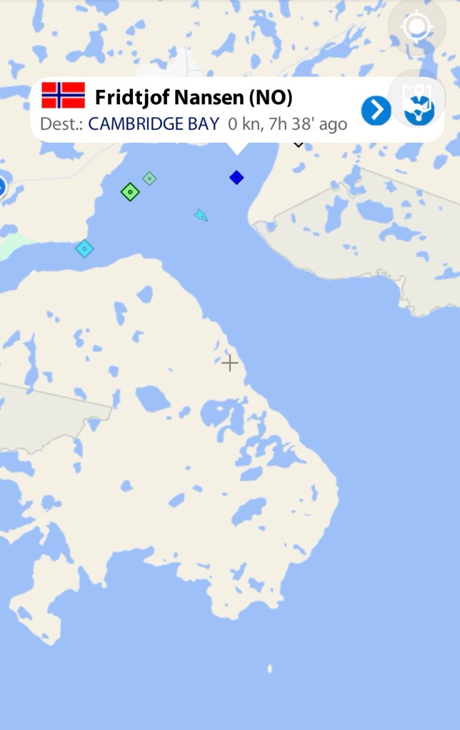
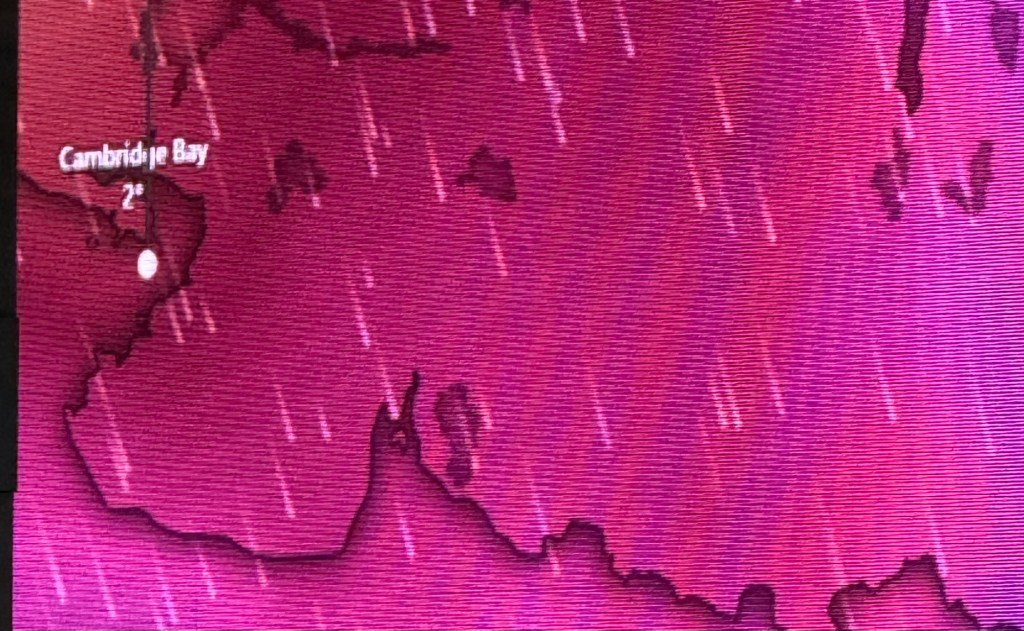
Sheltering in Cambridge Bay, Nunavut, Arctic Canada
We made it safely into Cambridge Bay. I see what the Captain meant about a tricky port to navigate – he was literally weaving our 21,761 tonne ship between the guidance bouys. Way to go Captain Aron Håpoldøy!
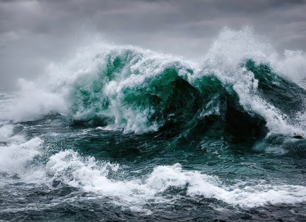
However, so far, the storm has been moderate and we are pretty much sheltered in the bay – maybe it will become more severe later. I hope so….
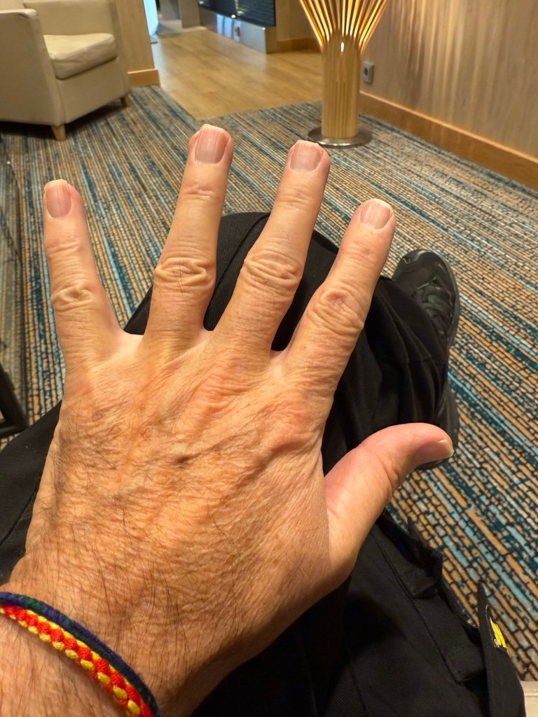
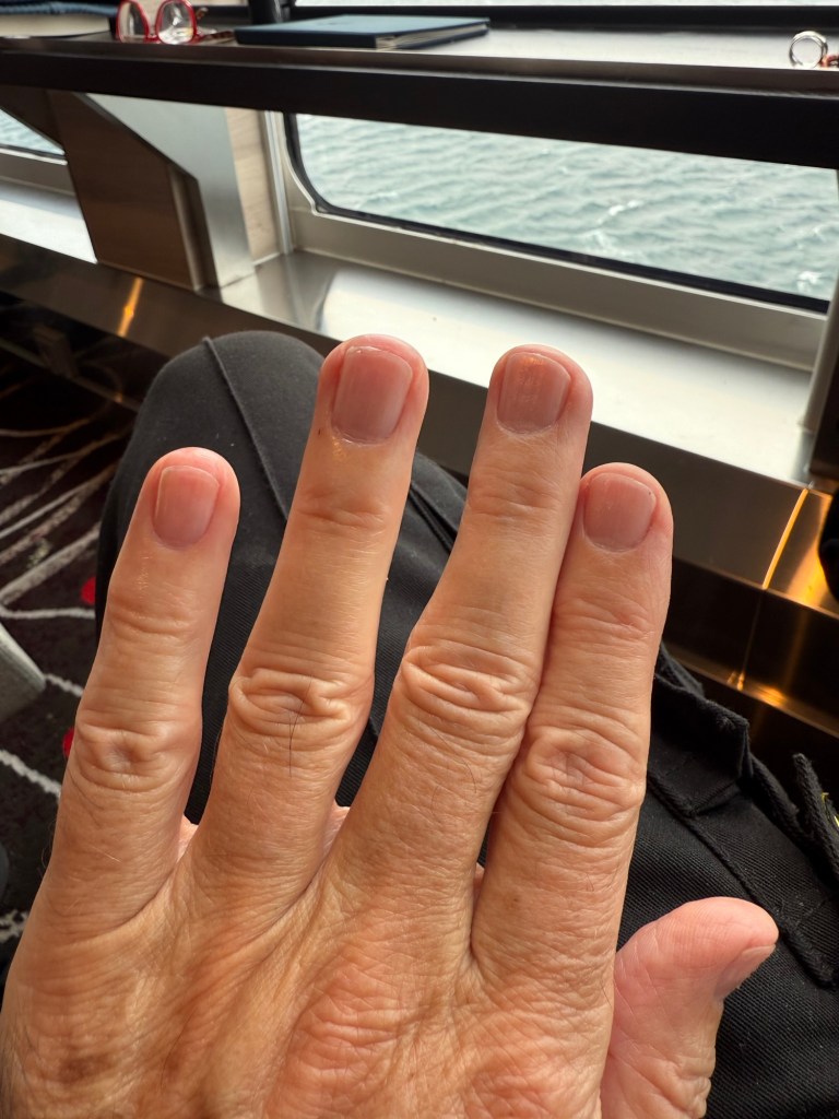
Because of the wind and waves, we were not allowed to go ashore in the Zodiacs. I got my nails done instead – my first manicure!
Before and after…..
BeforeAfter!
In the meantime here is a wee poem…
Cambridge Bay Storm
The wind whispers promise on the Arctic shore, while white horses rise from the blue bay floor.
Harbor boats lie moored and bob, Water swallows land, yet resilience guides us through life’s ebbs and flows.
And in the wind, a quiet strength prevails, a timeless hymn of northern days that never fail.
Rooted, yet free in nature’s grasp, a storm-bound traveler on icebound land, transformed.
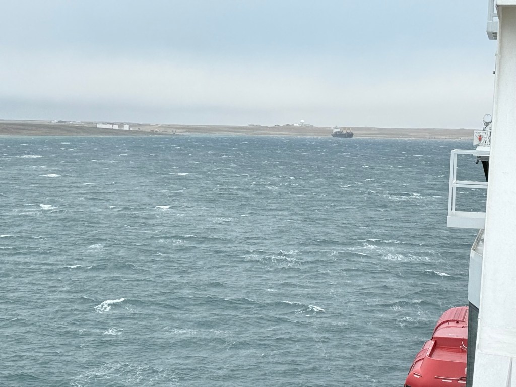
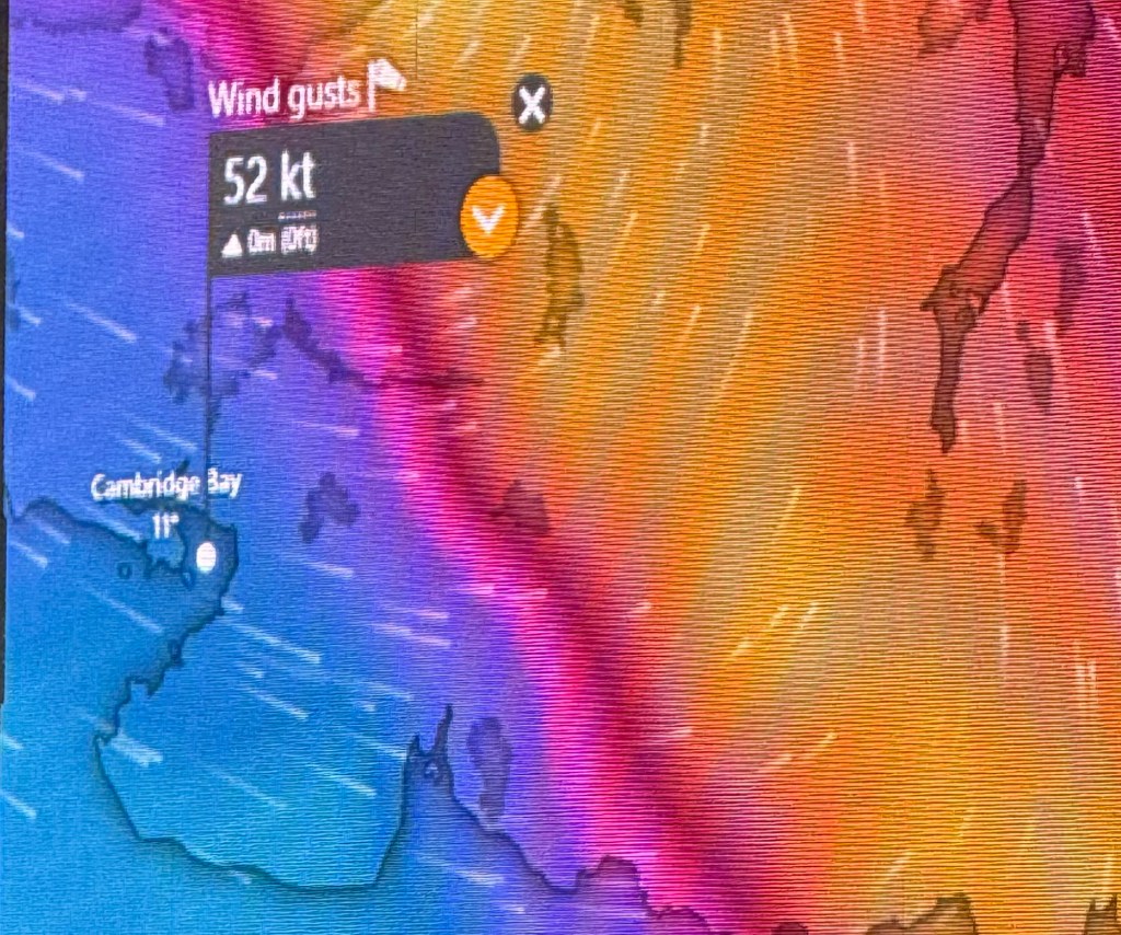
Storm!! Cruising past Jenny Lind Island towards Cambridge Bay, Nunavut, Arctic Canada
We were meant to stop and do landings/hike at Jenny Lind Island, named for the Swedish born opera singer, Jenny Lind. You may recall that the character Jenny Lind featured in the movie The Greatest Showman, where she sang the beautiful song “Never Enough” (https://youtu.be/kUkRoIMyqFo?si=YUHFZeT9h4ssaK53)
However, due to approaching severe weather (Force 10 gale) we are now racing straight for the shelter of Cambridge Bay.
Winds:
– 48–55 knots – 55–63 mph – 89–102 km/h – 24.5–28.4 m/s
Waves:
– 29–41 ft
– 9–12.5 m
The problem with Cambridge Bay is the entry is very narrow and it’s difficult to get in esp. in a storm. So we have a small window to gain entry to the safety of the port.
How exciting! Hopefully a more interesting post for you guys later today.
The Bellot Strait, separating Somerset Island from the Boothia Peninsula, is notable for its narrow width of approximately 1 km (~ 0.6 miles) at its narrowest point, and potential patches of hazardous ice.
The Strait is also known for strong currents and whirlpools resulting from the narrow passage and tidal level differences on either side. This is considered one of the best Straits in the world.
We entered carefully, with a slight swagger, a little arrogance but assured in our hull.
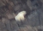
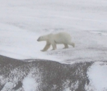
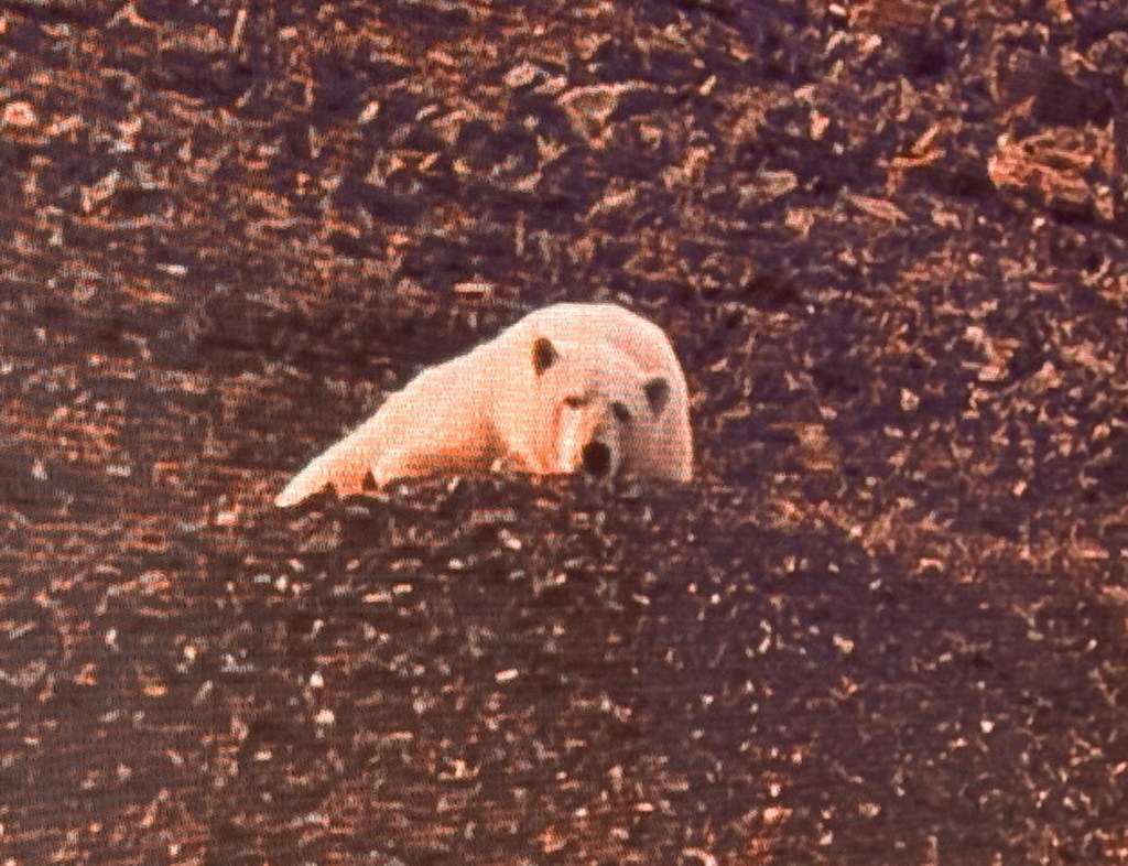
Yikey! An alert was issued for a polar bear and our hardy guides set out on the zodiacs.
The image of the bear is out of focus; however, I believe it was indeed a bear.
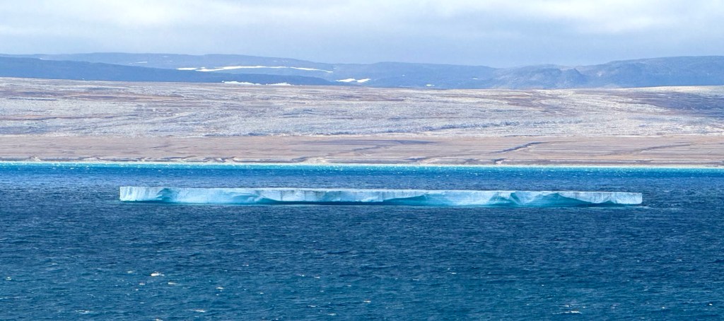
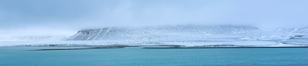
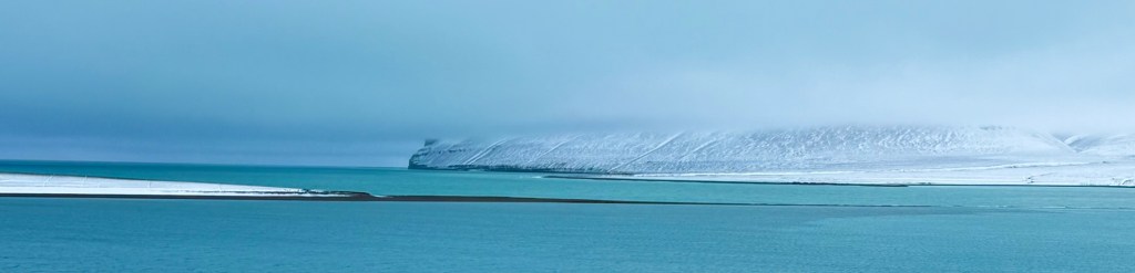
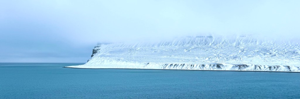
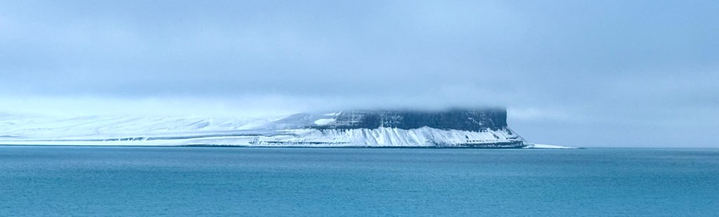
Cruising South on Price Regent Inlet, Arctic Canada
By Paul Bryers, August 27, 2025
A moderate to rough sea was experienced overnight and early this morning, with wave heights reaching 3-4 meters (~10-13 feet). Outlook, fair. Do I sound like the BBC Radio Fishing Forecast?
The stability of HX’s vessels in adverse sea conditions is consistently impressive.
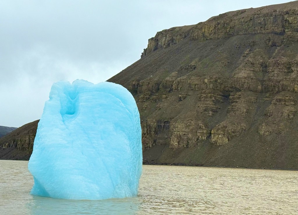
In the early hours, it was fascinating to observe icebergs being tossed about and fragmented by the swell.
Current conditions are calmer, with the few remaining icebergs relatively stable. One iceberg appeared as just a thin line on the horizon, although it was probably severnal if not 10’s of meters high.
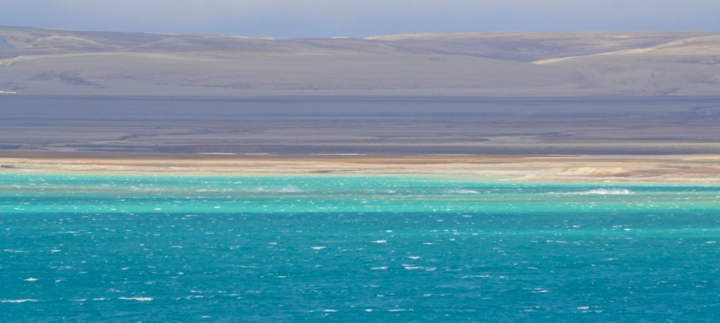
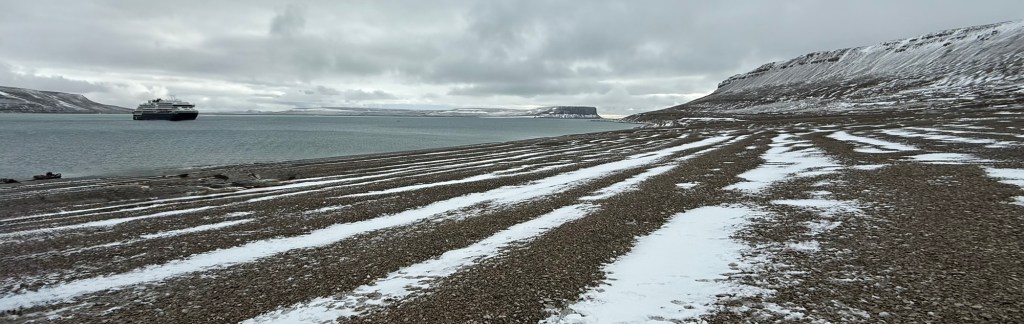
As we approached Fort Ross, there was an alert for a Musk Ox and another polar bear. While dots could be observed through bins, they were, I think, just rocks.
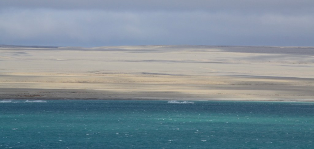
The land has now flattened out considerably and looks a bit like sand dunes. The water is turquoise, similar to the color of the waters off the West Coast of Scotland but even colder. Which reminds me, an Arctic Plunge is still ahead of us! Yikes!
After the Polar Bear was finally 5 km away from us, zodiac landings resumed with haste and valor.
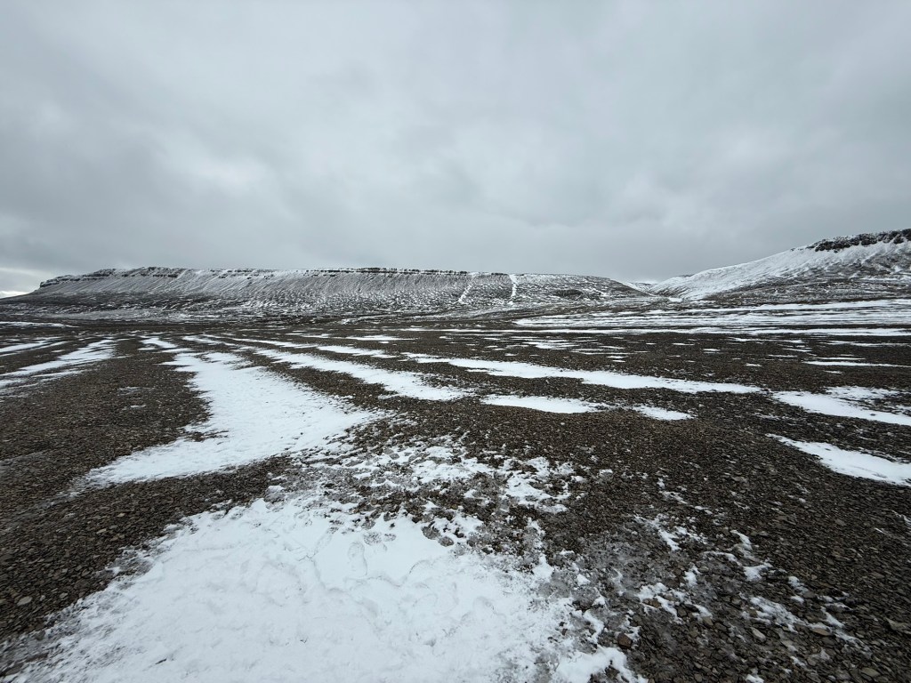
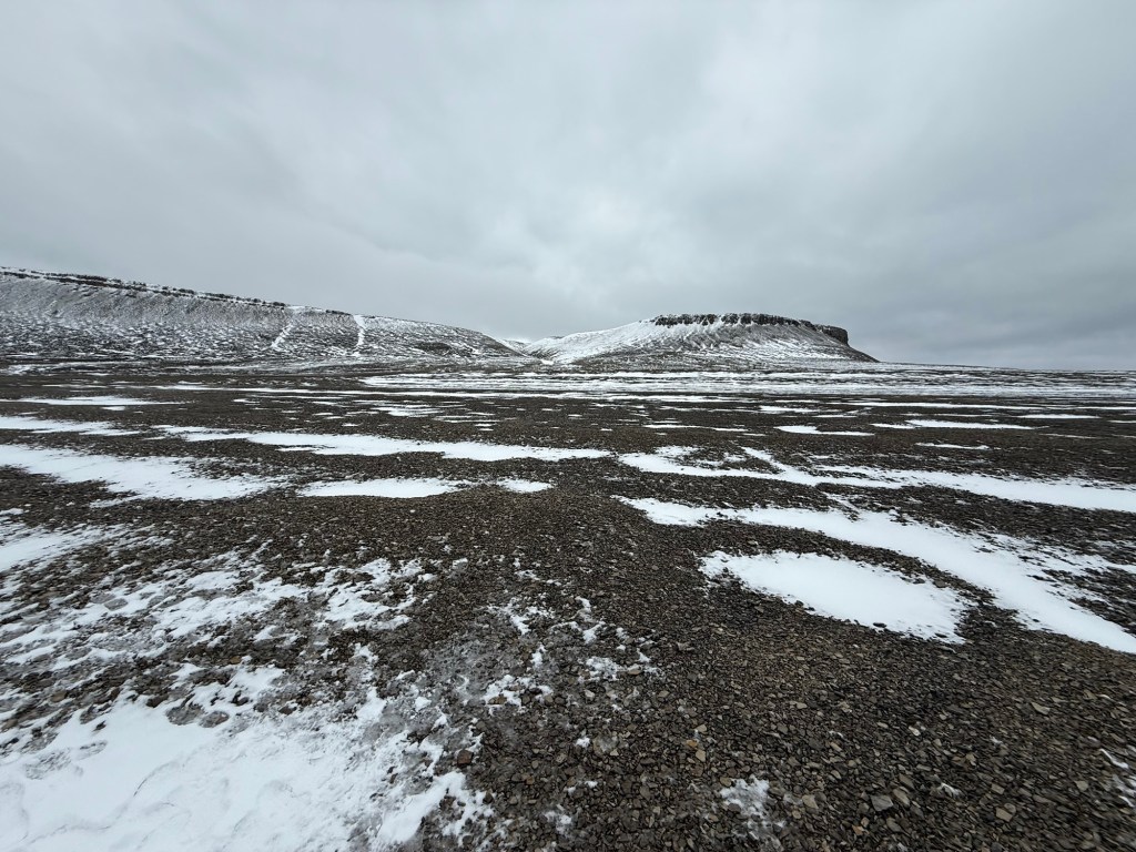
Now that some of the snow had melted, the barren and rugged nature of this isolated and desolate corner of Earth became even more apparent.
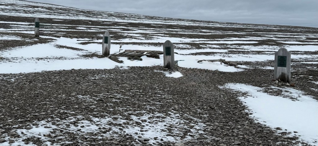
Beechey Island is best known for containing three graves of Franklin expedition members, which were first discovered in 1850 by searchers for the lost Franklin Expedition. The searchers found a large stone cairn, along with the graves of three of Franklin’s crewmen – Petty Officer John Torrington, Royal Marine Private William Braine, and Able Seaman John Harrell – but no written record nor indication of where Franklin planned to sail the next season.
During a later expedition, a searcher named Thomas Morgan died aboard the vessel North Star on May 22, 1854, and was buried alongside the three original Franklin crew members.
One can only glimmer what it must have been like for Franklin and his colleagues to have wintered in this area, starved and, for at least these three, died. And all the rest of the expedition died to.
We have had a remarkable morning, and it is only 10:00 am.
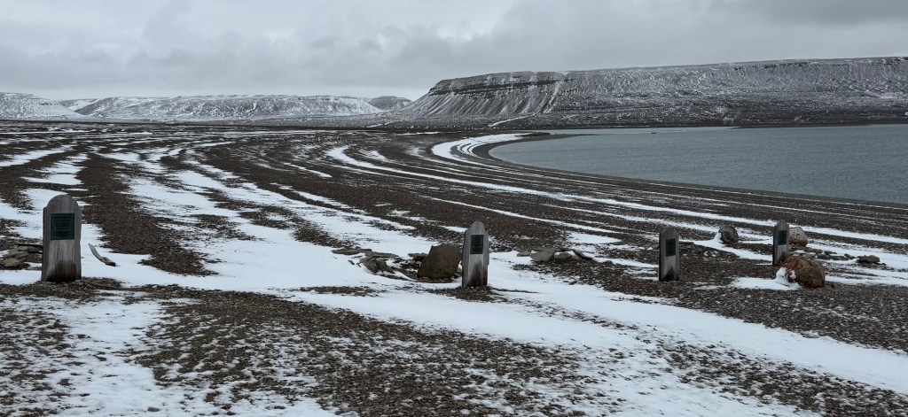
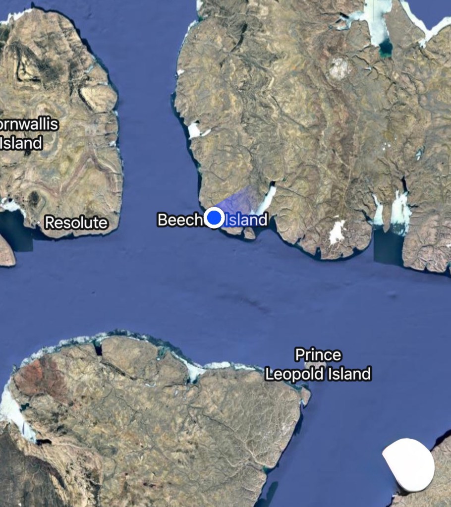
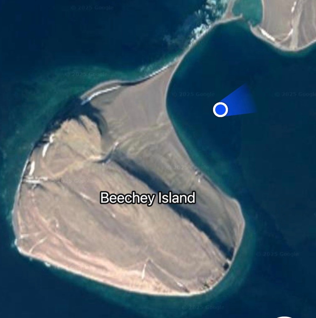
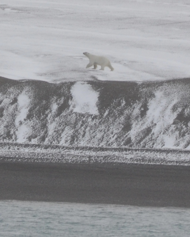
Around 07:00 am, we arrived at Beechey Island, renowned for containing three graves of the ill-fated Franklin expedition members, first discovered in 1850 by searchers for the lost Franklin expedition.
The island and surrounding areas offered breathtaking vistas with snow-covered mountains, cliffs, and turquoise and black waters.
The first two zodiacs successfully landed those of us who were going to hike to the top of Beechey Island.
I was taking sone distance photos of the graves……
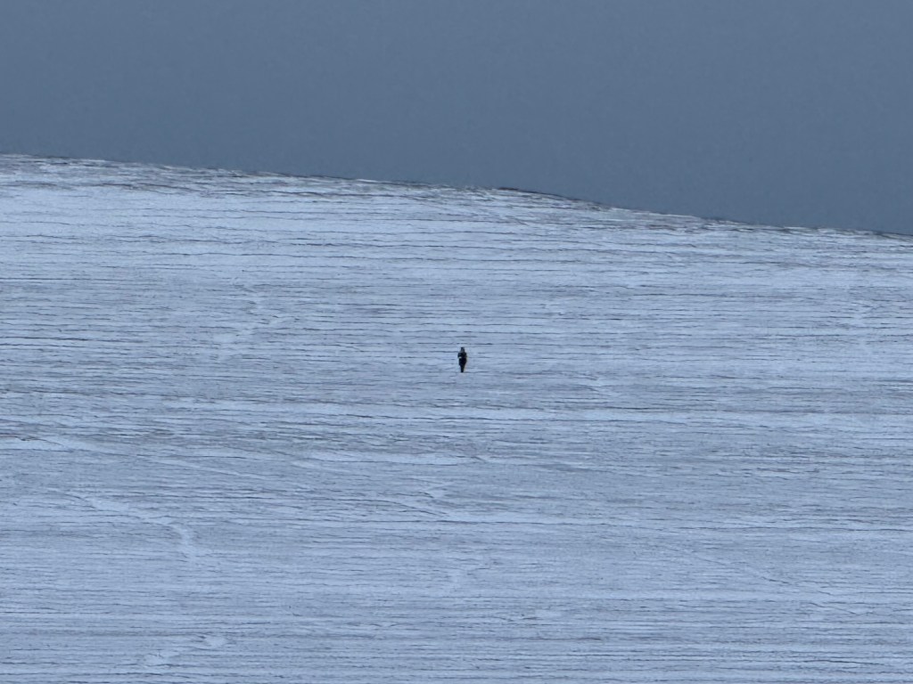
….Suddenly, the alert went up “Polar Bear! Polar Bear!” from one of the guards high on the hill.
The speed with which the HX guides got us back on the zodiacs and evacuated the island was very impressive. Adrenaline was running high!
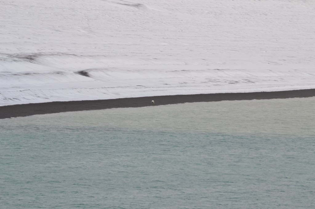
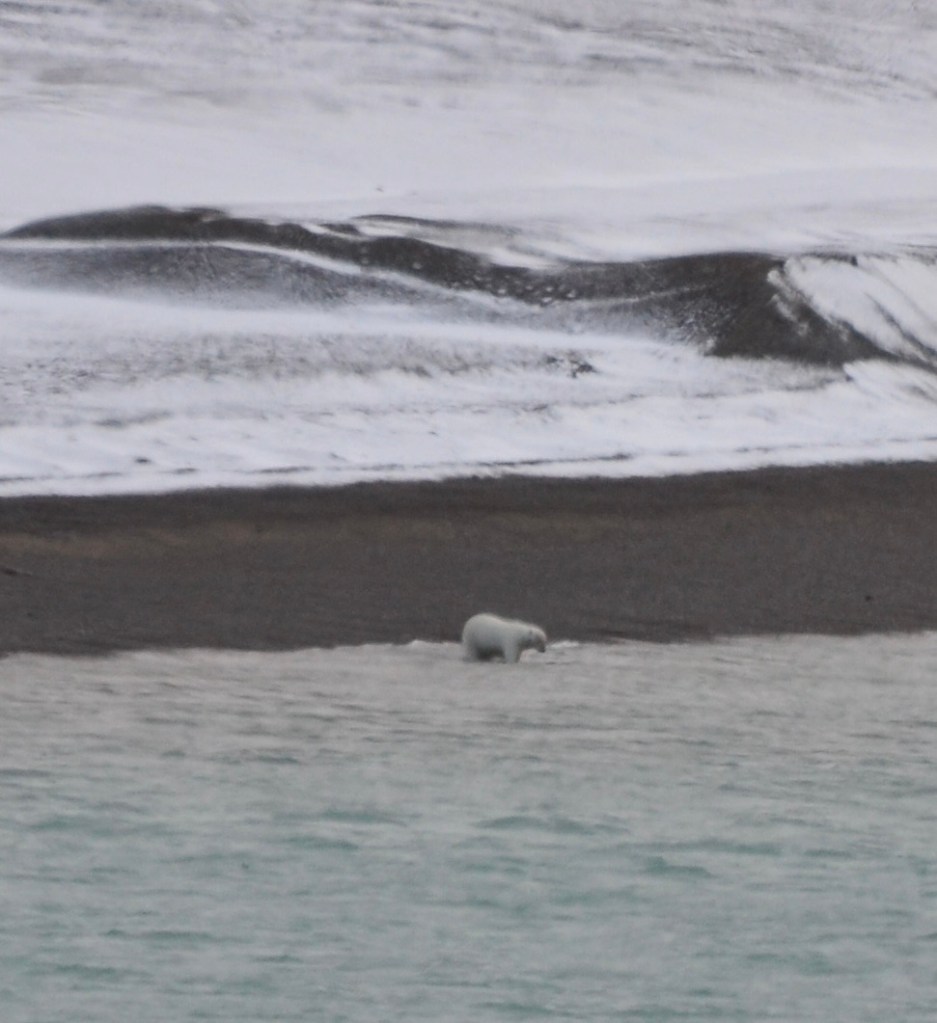
Back at the ship, we joined everyone else outside on the upper decks, following the progress of the bear. Initially, he was prowling on the shore, then went for a swim.
After coming back on shore, he walked adjacent to the ship for quite a while before heading inland.
The ship has just reported that the bear is now well inland and walking away from us, so we are resuming landing activities. However, we will be in very small groups and restricted to the area immediately beside the graves. No hike for us today!
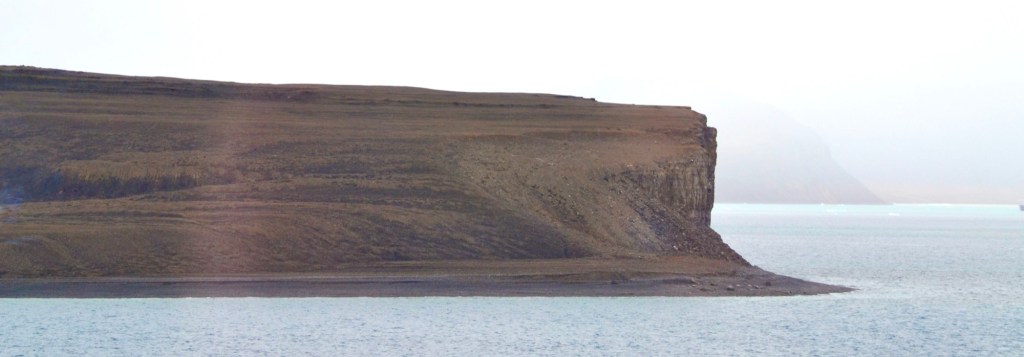
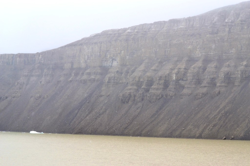
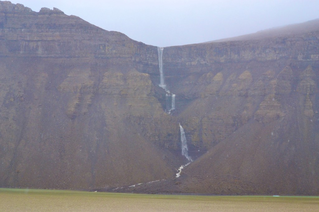
Cruising Maxwell Bay and Ryder Inlet, Arctic Canada
From Paul Bryers, August 25, 2025
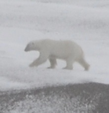
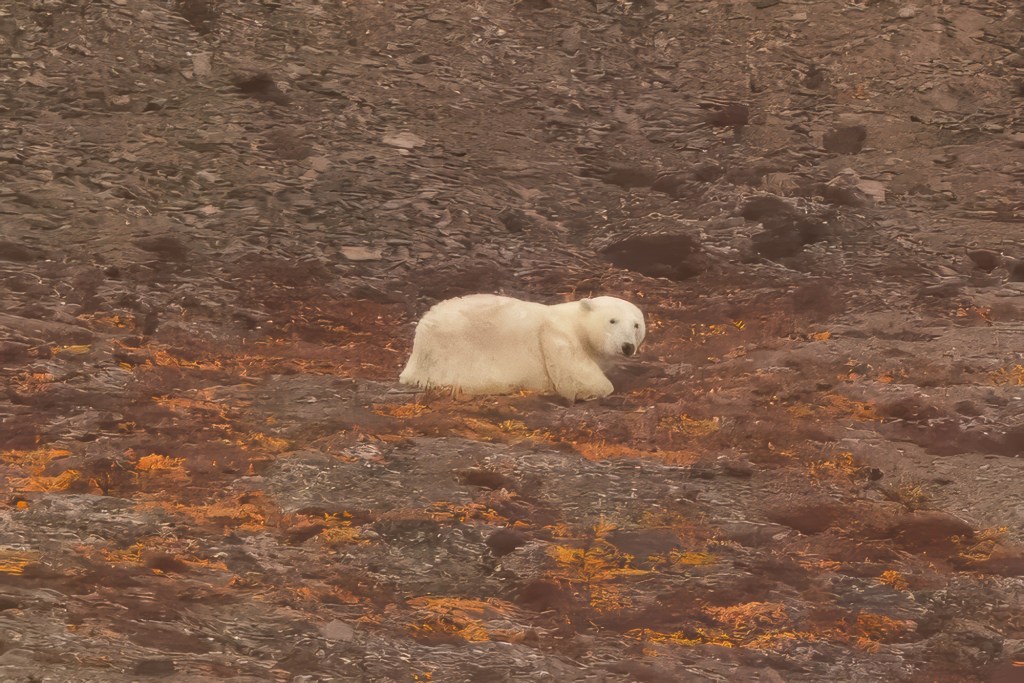
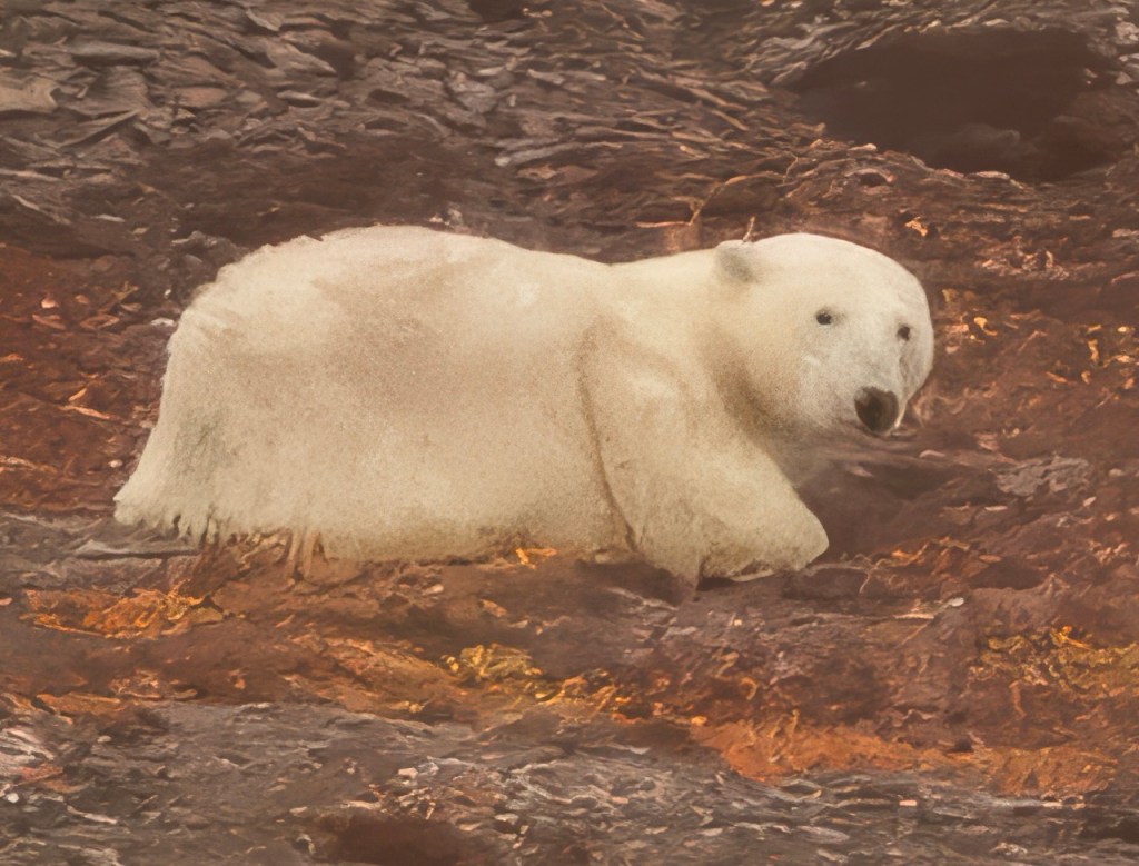
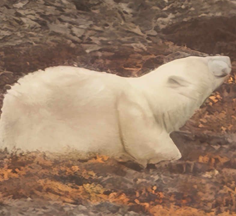
While cruising in Maxwell Bay this morning, a polar bear was spotted a few hundred yards up from the shore but a good distance from our ship. Fortunately, another guest had a super lens and shared his photo; I don’t know his name but thank you sir! Since then several other polar bears have been spotted.
As the bay is largely uncharted, we are cruising at a slow pace using sonar to avoid grounding.
The cliffs at Ryder Inlet were vertical, beautifully striated, and seemingly completely barren. In fact, NASA comes here to trial Mars landing and roving equipment.
Despite the snow, we were able to view a magnificent waterfall cascading down the entire height of the immense cliffs.
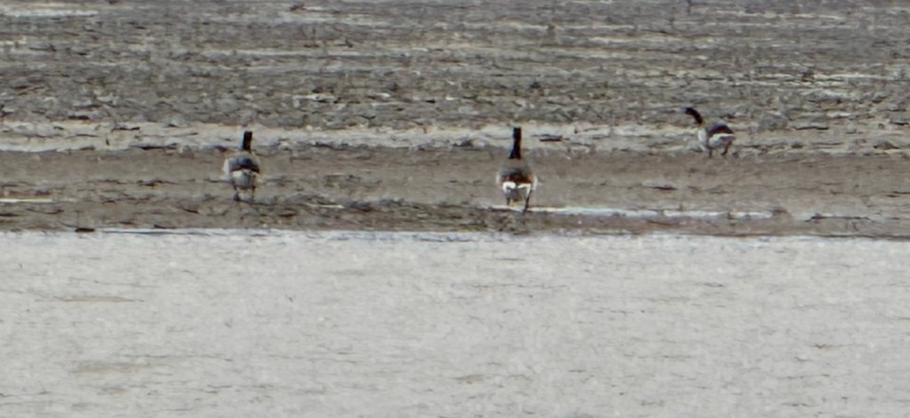
In the afternoon, we deployed the Zodiacs and attempted to reach 75°N – we seemed to get very close but grounded twice while investigating some barnacle geese and had to abort.
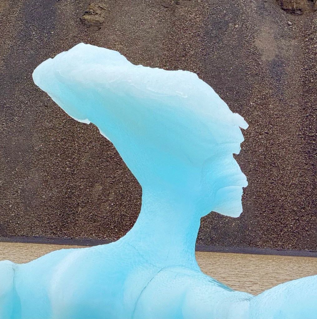
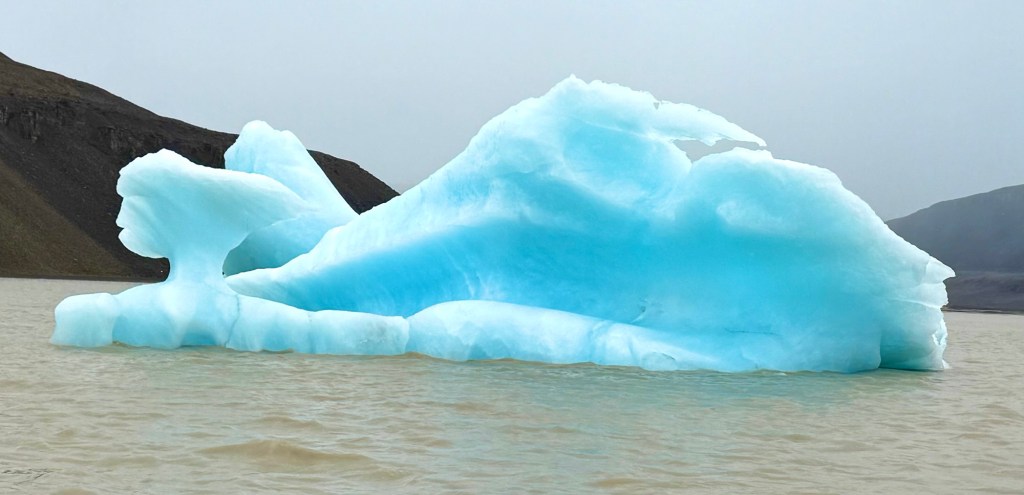
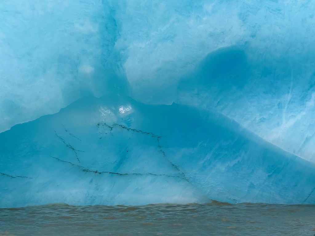
We enjoyed cruising through many intricate icebergs.