Khiva
By Paul Bryers
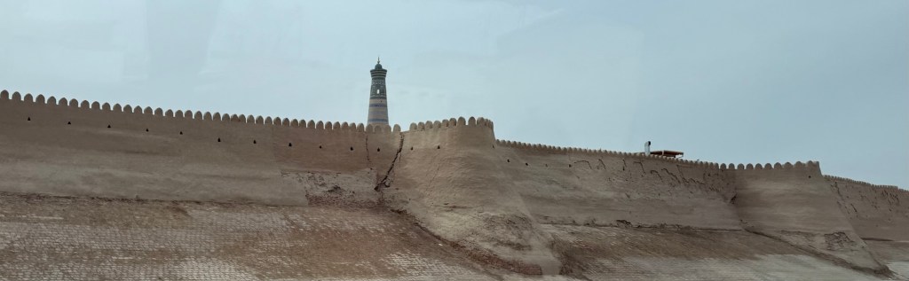
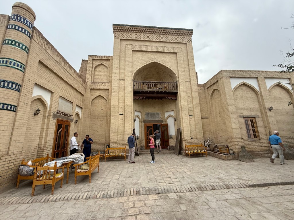
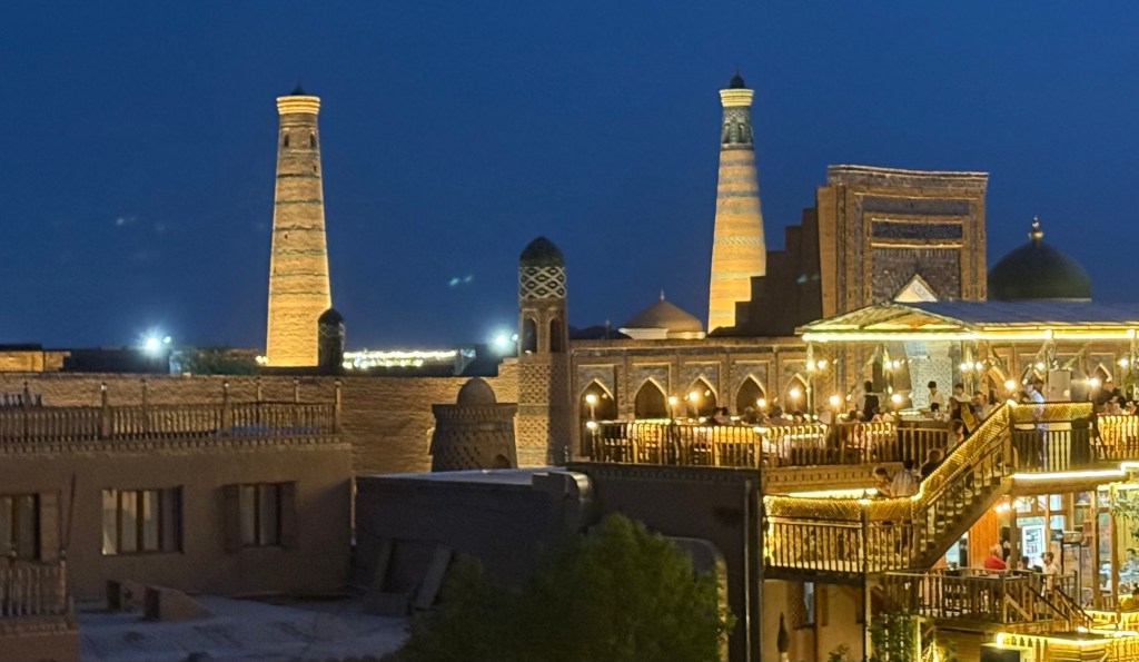
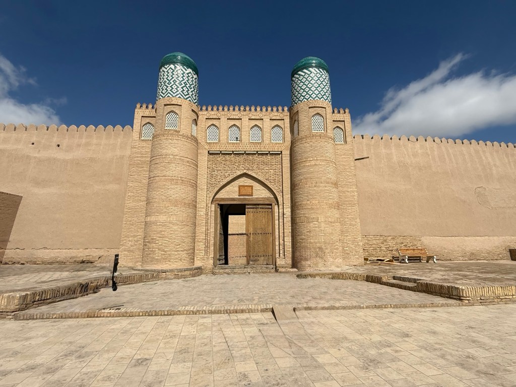
Ichan Kala, within Khiva, is an incredible old city which has been a World Heritage site since 1990.

Four gates allow entry to the ancient city.

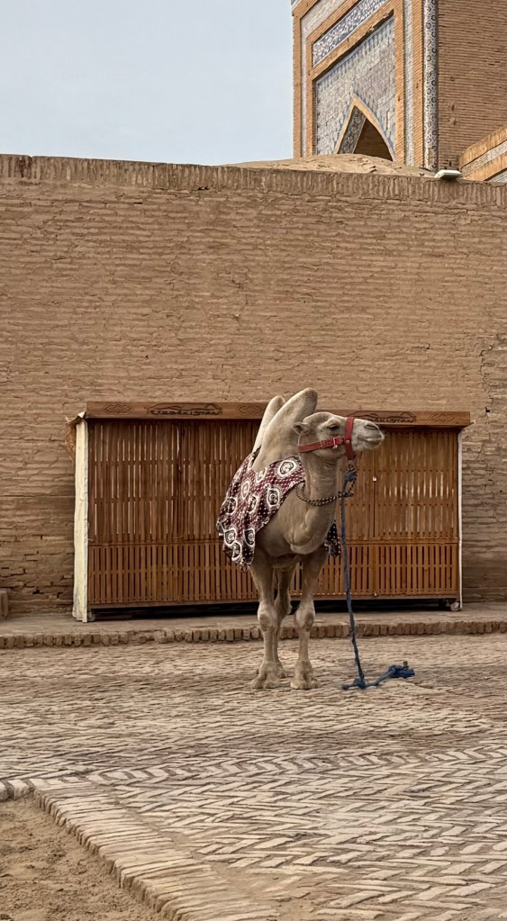
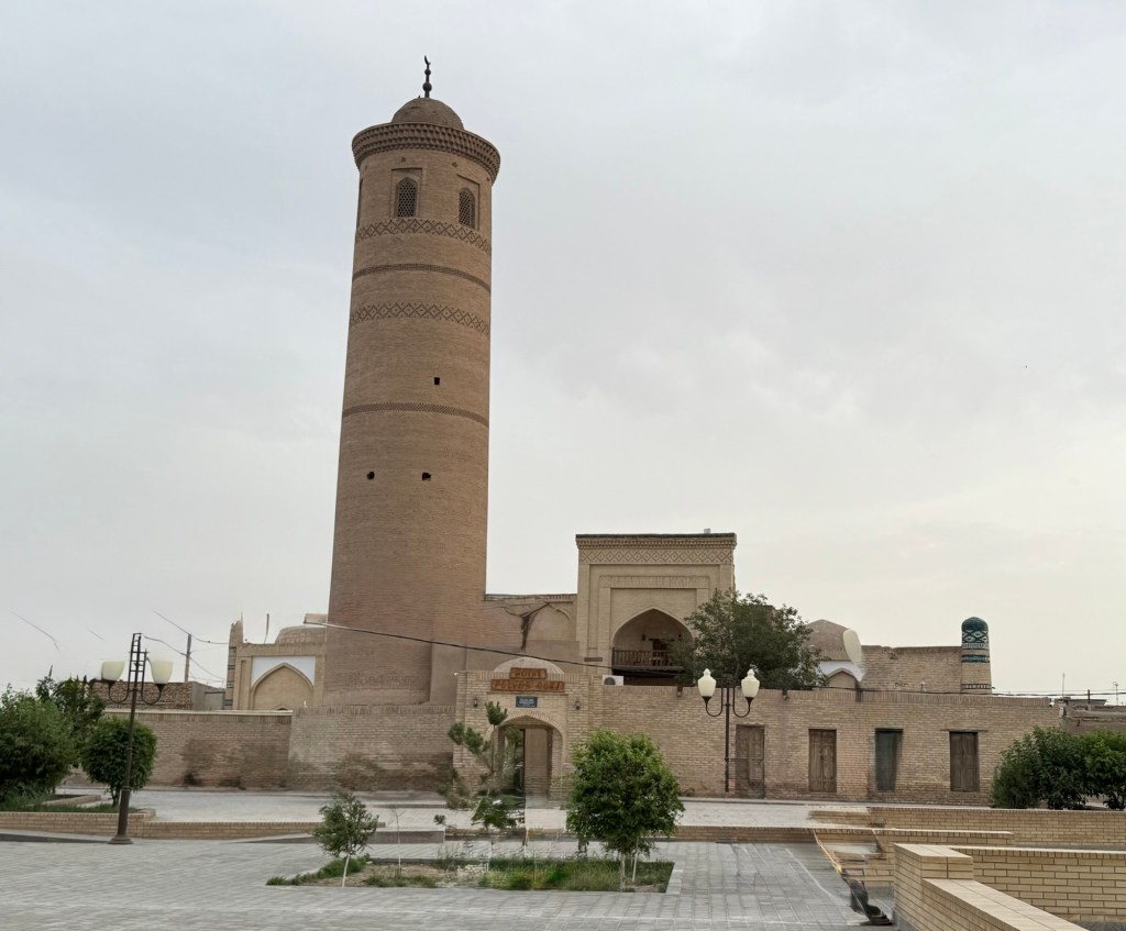
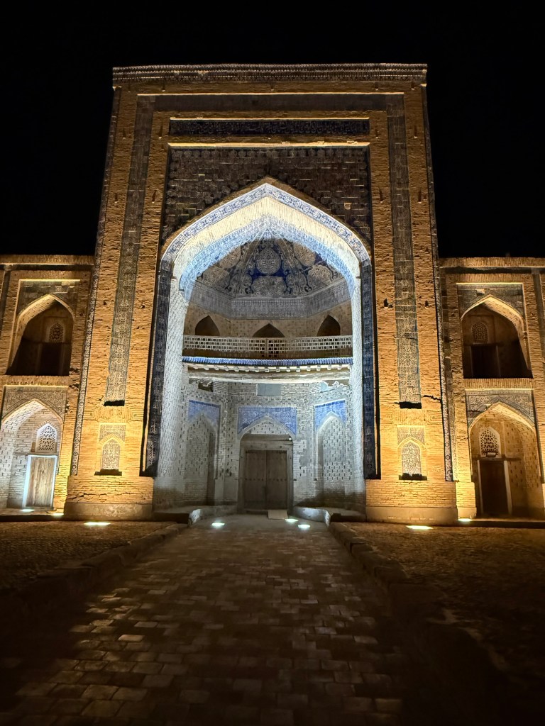
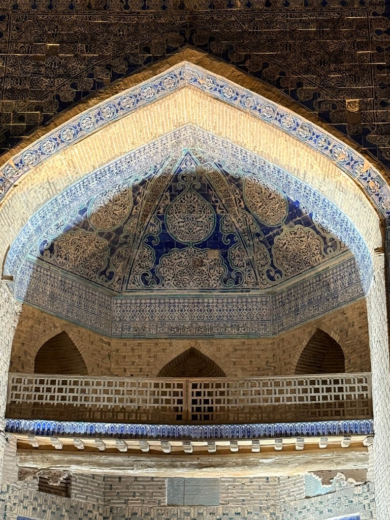
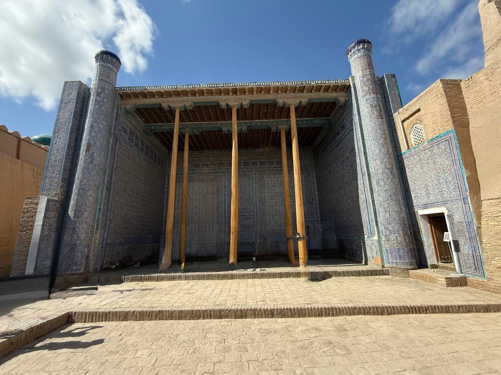
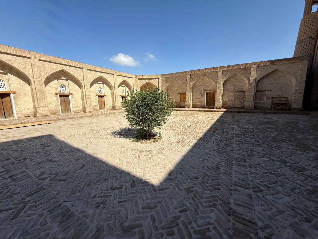
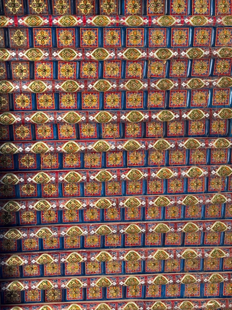
Within are numerous madras’s (religious schools) and minaretes. Some are now purely historical sites while others are functional. They vary from plain clay bring to high styalized, colored ceramic brick.


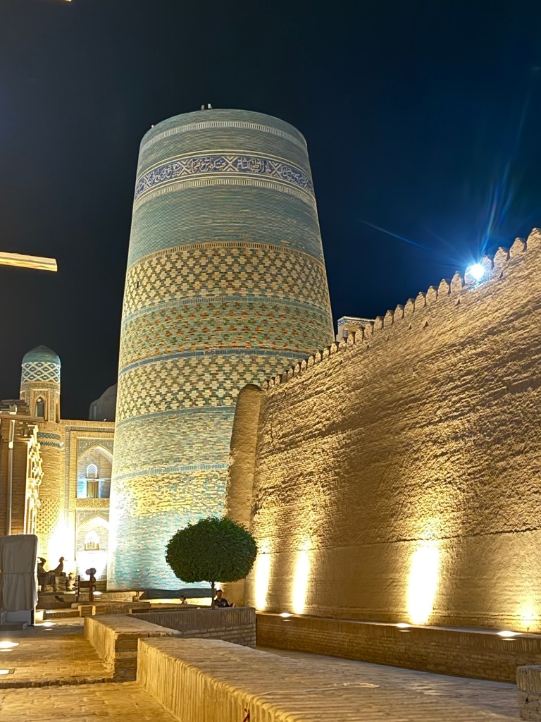
One minaret’s sponsor died before it was complete. It was meant to be 200 ft high but after he died it remained unfinished at about 70 ft height. It would have been the highest minuret in the World.
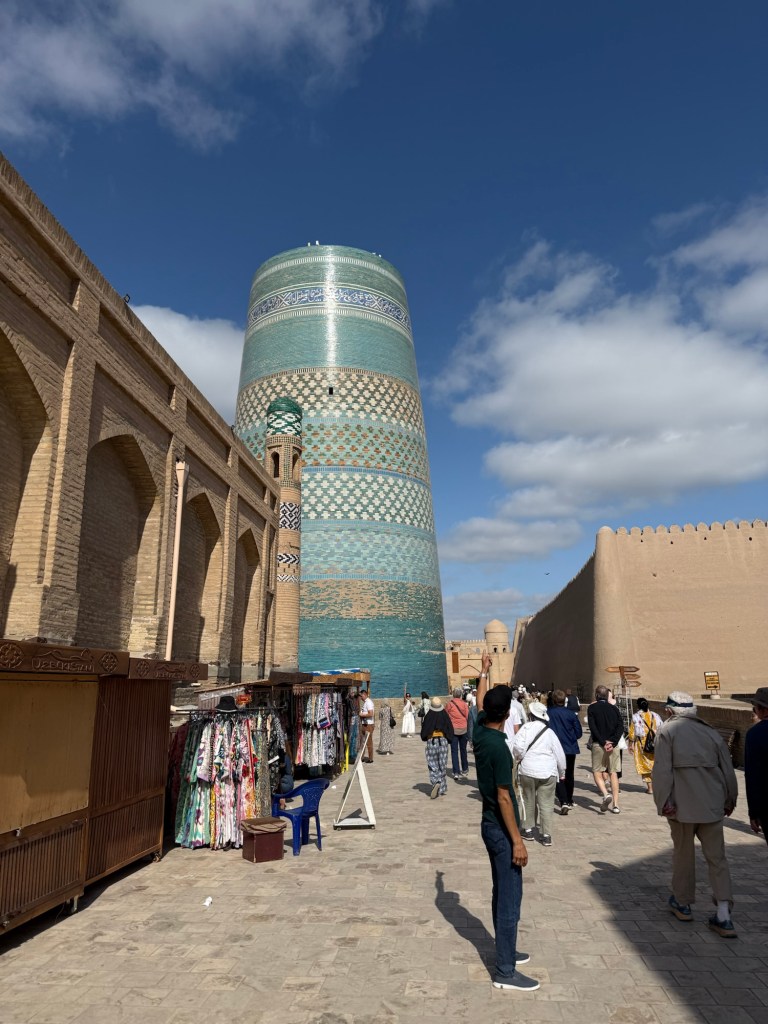
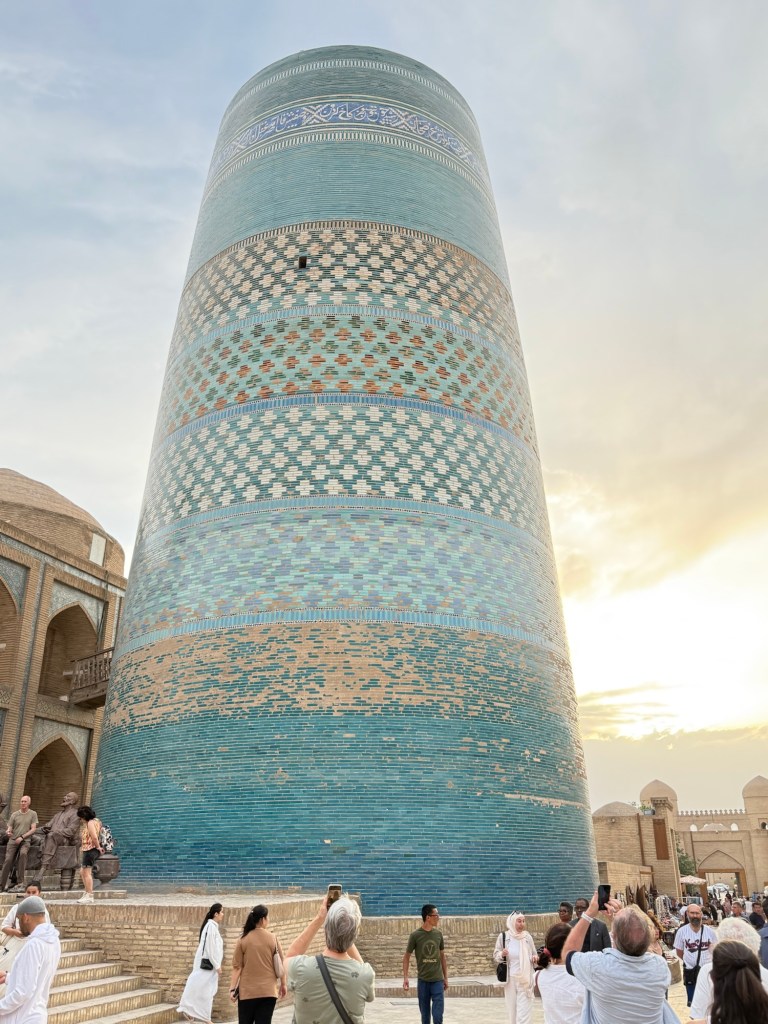
As a consulation, Khiva has the highest minaret in Uzbekistan.
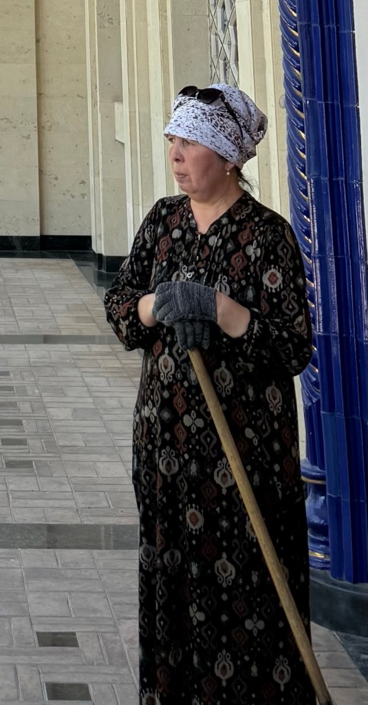
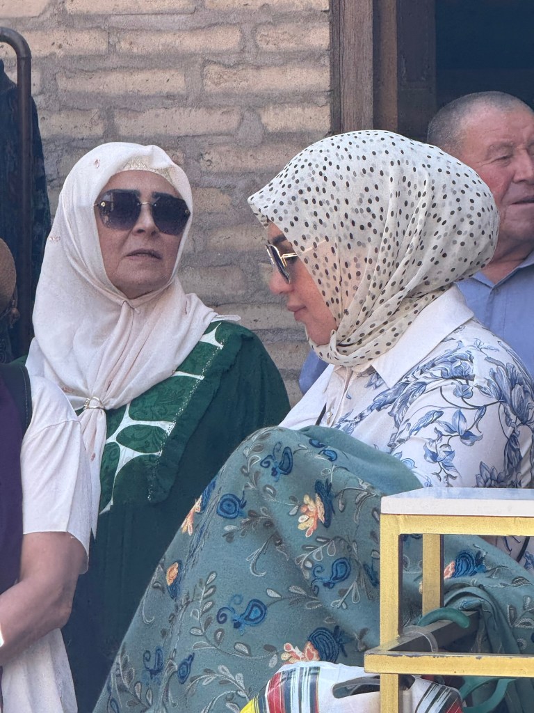
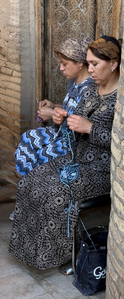
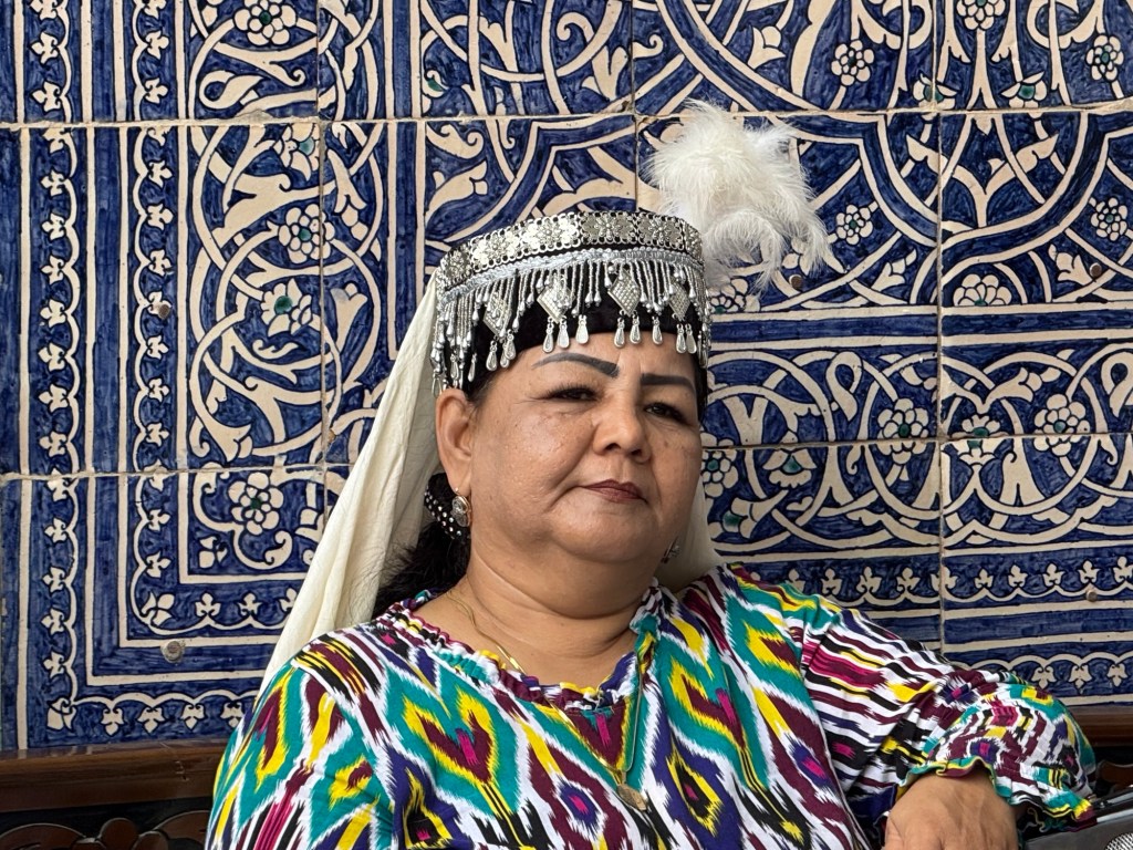
The locals were in force….friendly folk..
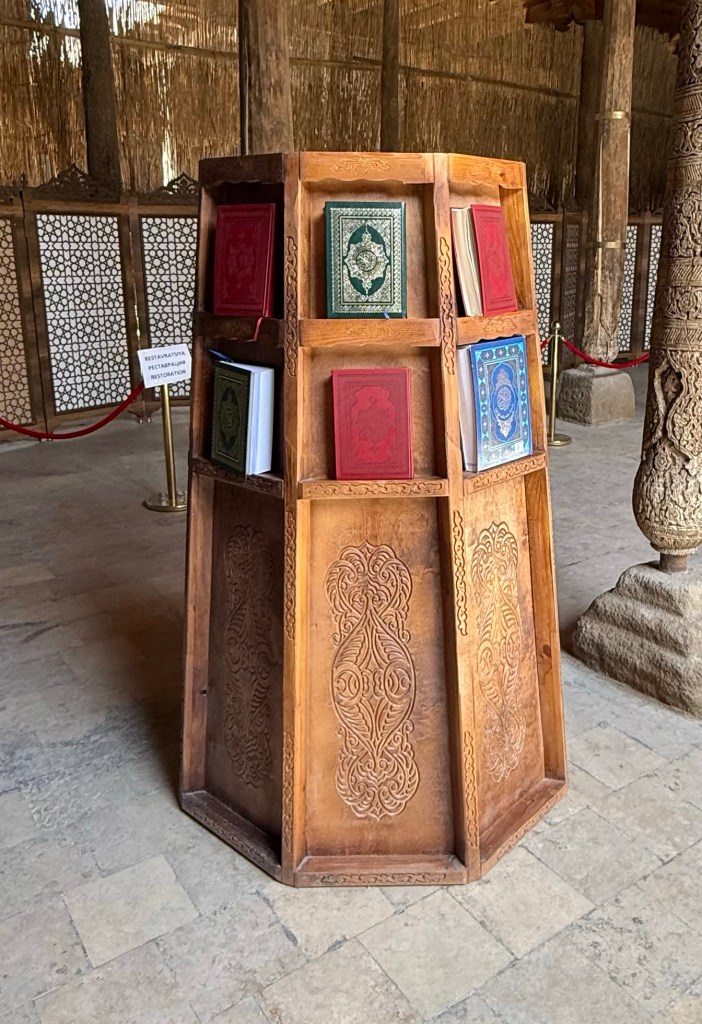
We investigated various Quran, Lovely Rugs, Wooden Doors with Pomegrte and Bowls.

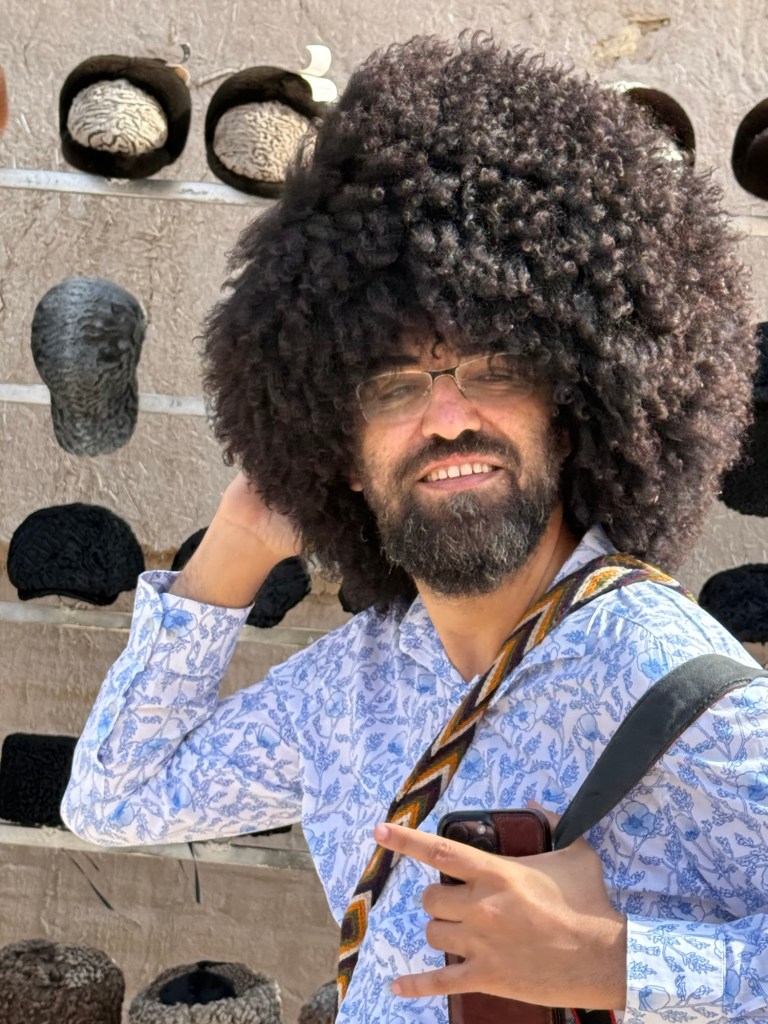
There was some hat fashion nonesense within our wee group. The lambs wool hats were worn by all men as late as the 1960s. The lambs involved in donating their wool varied from fetal to old mutton.